What is recorded here
St Augustine's Fort rose in 1601 as a massive square earthwork with corner bastions, swallowing the old Augustinian friary and commanding the harbour approaches. It stood for four decades before demolition in 1643 erased every stone, leaving only the adjacent graveyard name to prove the giant ever existed.
On summit at SW end of a steep-sided ridge overlooking Galway town to WNW and the approaches to its harbour and Loch an tSáile to S. Built in 1601-3 on the site of Augustinian friary (GA094-099003-), the church of which was incorporated into its plan. No visible surface trace survives of St Augustine's Fort, as it was known, but early 17th-C plans and various accounts of it exist (Hardiman 1846, 96-8, 108-22). These indicate that it was a massive earth and stone-faced construction (H c. 6m), square in plan (L/Wth c. 60m), with salient angle-bastions at each corner. It was encircled by a fosse, the entrance with gatehouse and drawbridge being situated midway along E side. Completely demolished in 1643: its former existence is preserved in the name of an adjacent graveyard (see GA094-099001-). (Walsh 1981, 64-76, 79-85; Kerrigan 1980, 137)
The above description is derived from the published 'Archaeological Inventory of County Galway Vol. I - West Galway'. Compiled by Paul Gosling (Dublin: Stationery Office, 1993).
Date of upload: 05 August 2010
The monument record does not grant public access. Check the route and ask the landowner before entering private land.
- What survives
- Recorded monument
Places near here
 Religious houseReligious house, Augustinian friars · 2 yd
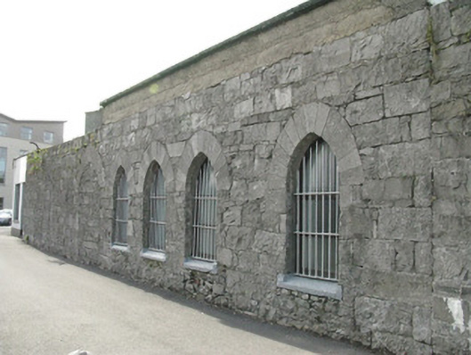 Forthill Graveyardgraveyard/cemetery · 7 yd
 City WallsHeritage attraction · 311 yd
 Mechanics InstituteMemorial · 390 yd
 Padraic O'Conaire StatueMonument · 394 yd
 Siege of Galwaysiege · 407 yd
 Outset GalleryGallery · 418 yd
 GALWAYHistoric town · 433 yd
 Lynch's CastleCastle · 445 yd
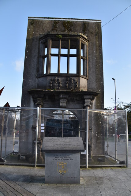 Browne DoorwayVisitor information · 449 yd
 Seán DugganMemorial · 461 yd
 Blake's CastleCastle · 568 yd