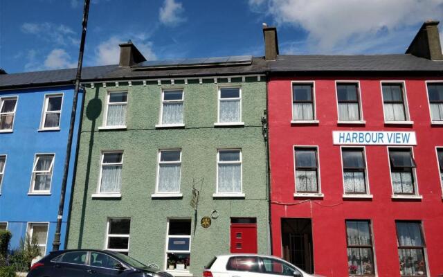
What is recorded here
Late 18th/early 19th century 2-storey L-shaped house. Originally hipped-roof, gabled at rear. Entrance front (E) of 5 bays; central door; brick arched windows; brick cornice. Central 2-storey hipped projection to rear. According to local information farmbuildings to SSE are remains of larger complex, demolished during Gas Pipeline construction (1976); contained a mill building of which two millstones survive. House subsequently demolished.
The above description is derived from the published 'Archaeological Inventory of County Cork. Volume 2: East and South Cork' (Dublin: Stationery Office, 1994). In certain instances the entries have been revised and updated in the light of recent research.
Date of upload/revision: 14 January 2009
The monument record does not grant public access. Check the route and ask the landowner before entering private land.
- What survives
- Recorded monument
Places near here
 Tullagreen Housegate lodge · 389 yd
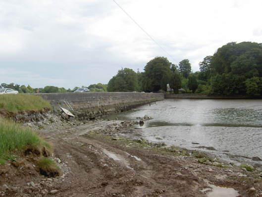 Slatty Bridgebridge · 421 yd
 Barrys Court Castle, Tower(s)Castle, tower house · 1256 yd
 Barryscourt CastleCastle · 1259 yd
 Fulacht fia in BarryscourtFulacht fia · 1277 yd
 Grave YardGraveyard · 1519 yd
 Rossmore BayBay · 1.2 mi
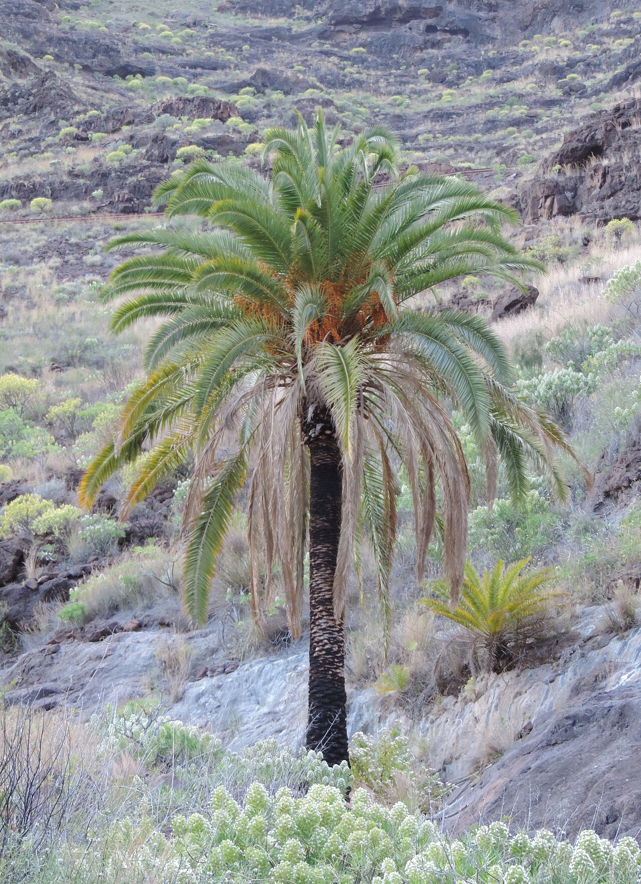 Canary Island date palmCanary Island date palm · 1.3 mi
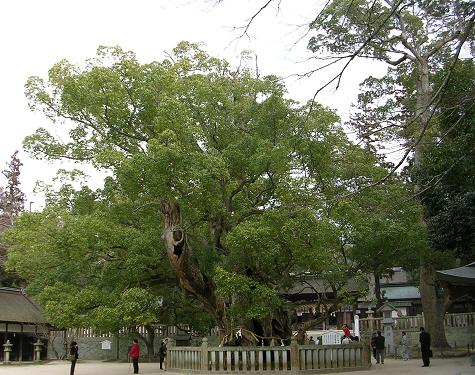 Camphor treeCamphor tree · 1.3 mi
 Fota Arboretum and GardensHeritage attraction · 1.3 mi
 Belvelly CastleCastle · 1.5 mi
 Harper's IslandIslet · 1.6 mi
Other information
Photo: Credit not shown in the picture search · Rights wording not checked; contact us if this picture should be removed