What is recorded here
Scotland's National Record of the Historic Environment records Barry, Upper Mill Bridge as Footbridge (period Unassigned). The official map says its point is accurate as follows: NGR given to the nearest 1m. The record does not by itself mean that the public may enter the place.
The historic-place record does not grant public access. Check current conditions and ownership before entering land or a building.
Places near here
 Barry MillWatermill (period Unassigned) · 26 yd
 Ravensby HouseCountry House (period Unassigned) · 262 yd
 Grange of BarryPit(s) (period Unknown), Rig and Furrow (medieval) - (post Medieval), Ring Ditch (period Unknown)(possible) · 325 yd
 Trave BridgeRoad Bridge (period Unassigned) · 1006 yd
 Castle HillCastle (medieval)(possible) · 1.3 mi
 Carnoustie War MemorialMemorial · 1.7 mi
 The Dibble TreeVisitor information · 1.7 mi
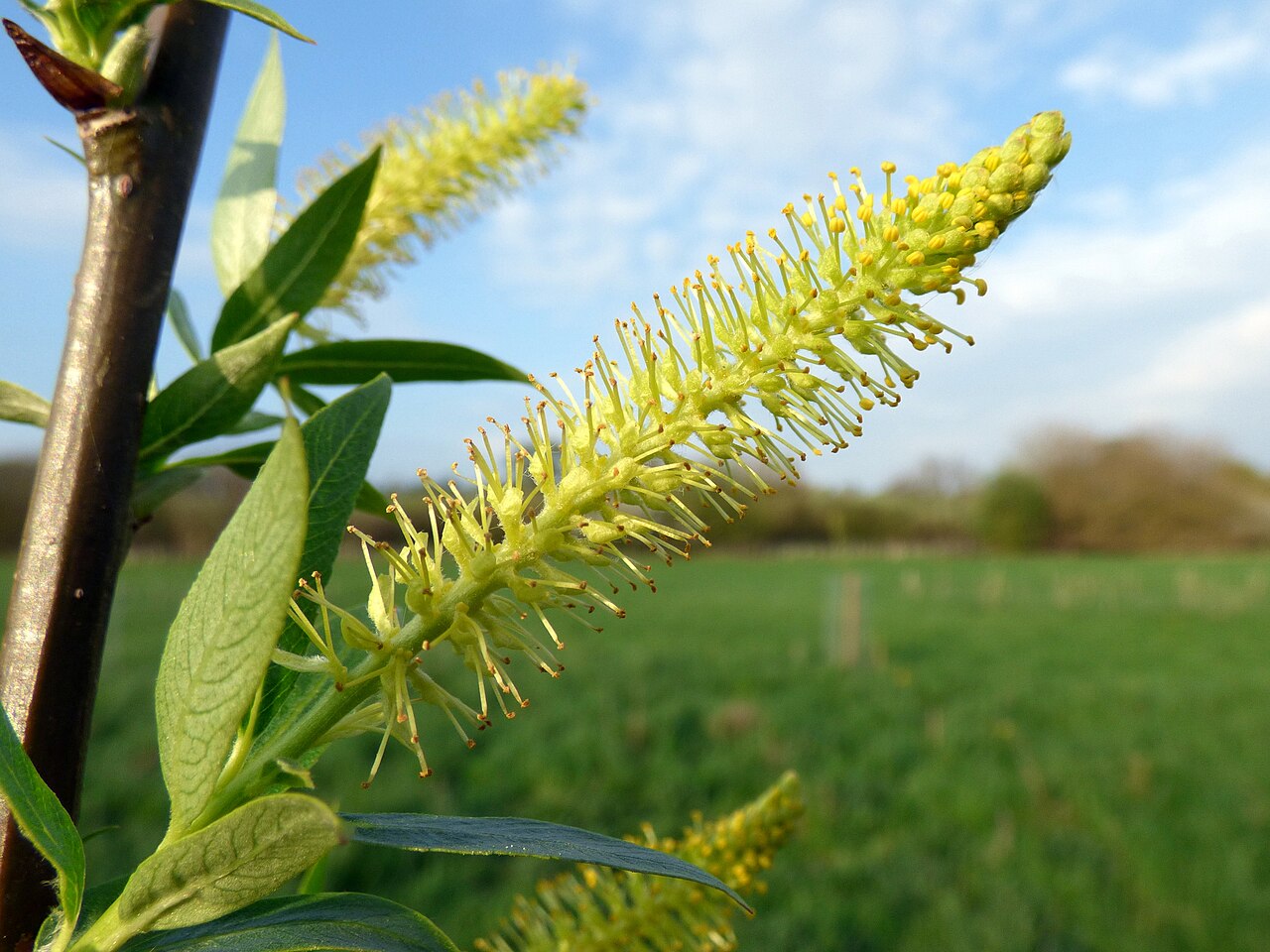 Dibble TreeCricket-bat willow · 1.7 mi
 Panmure CastleCastle (medieval), Chapel (medieval), Garden (post Medieval)(possible), Moat (medieval), Mound(s) (period Unknown) · 1.8 mi
 Battle of Barrybattle · 1.9 mi
 Camustane WoodWood · 1.9 mi
 Monifieth SandsBeach / strand · 2.8 mi