What is recorded here
Barrow in County Louth is a low mound built over a Neolithic settlement, sealed with clay and used for three cremations. Liversage excavated it in 1958, revealing that the living place had been transformed into a burial mark. The boundary between home and grave may have been deliberately blurred, making memory depend on the shape of the land rather than a named person.
The following description is derived from both the published 'Archaeological Inventory of County Louth' (Dublin: Stationery Office, 1986) and the 'Archaeological Survey of County Louth' (Dublin: Stationery Office, 1991). In certain instances the entries have been revised and updated in the light of recent research.
Date of upload/revision: 17 July 2007
Low mound, which on excavation by G.D. Liversage in 1958 (JRSAI 1960, 49-60) revealed a Neolithic settlement (LH024-007001-) deliberately sealed by a clay layer and built up for use as a burial mound, in which three cremations were interred (see LH024-007003-, LH024-007004-, LH024-007005-).
The monument record does not grant public access. Check the route and ask the landowner before entering private land.
- What survives
- Recorded monument
Places near here
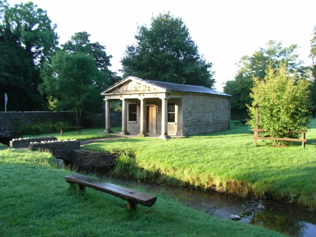 Townley Hallgate lodge · 239 yd
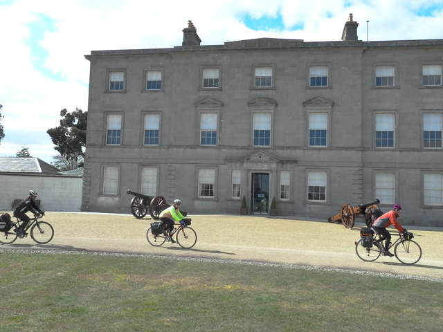 Oldbridgecountry house · 525 yd
 Battle of the Boyne Visitor CentreMuseum · 530 yd
 Battle of the BoyneMajor battlefield · 548 yd
 European YewEuropean Yew · 688 yd
 Enclosure in OldbridgeEnclosure · 1303 yd
 Enclosure in TullyallenEnclosure · 1395 yd
 Proudfootstown CastleCastle, unclassified · 1413 yd
 Quarry Garden WoodForest · 1497 yd
 Grove IslandIslet · 1509 yd
 Yellow IslandIslet · 1.2 mi
 Dowth CastleCastle, tower house · 1.7 mi