What is recorded here
In gently undulating pasture. Subcircular area (13.5m N-S), truncated on E side (now 8m E-W), defined by scarped edge (Wth 1.25m; H 0.4m) SE to NE, with external fosse (basal Wth 2m; total Wth 9.8m; D 0.95m) W-N. Fosse opens out into a water-filled depression at WNW where there is a natural spring.
Compiled by: Denis Power
Date of upload: 15 November 2013
A Bronze Age barrow, likely a ring barrow or bell barrow, with a surrounding fosse. Its truncated form suggests partial excavation or erosion, but such monuments often mark significant burial or ritual sites in the prehistoric landscape.
The monument record does not grant public access. Check the route and ask the landowner before entering private land.
- What survives
- Recorded monument
Places near here
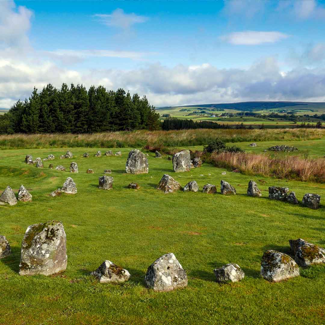 BarrowBarrow, ring-barrow · 646 yd
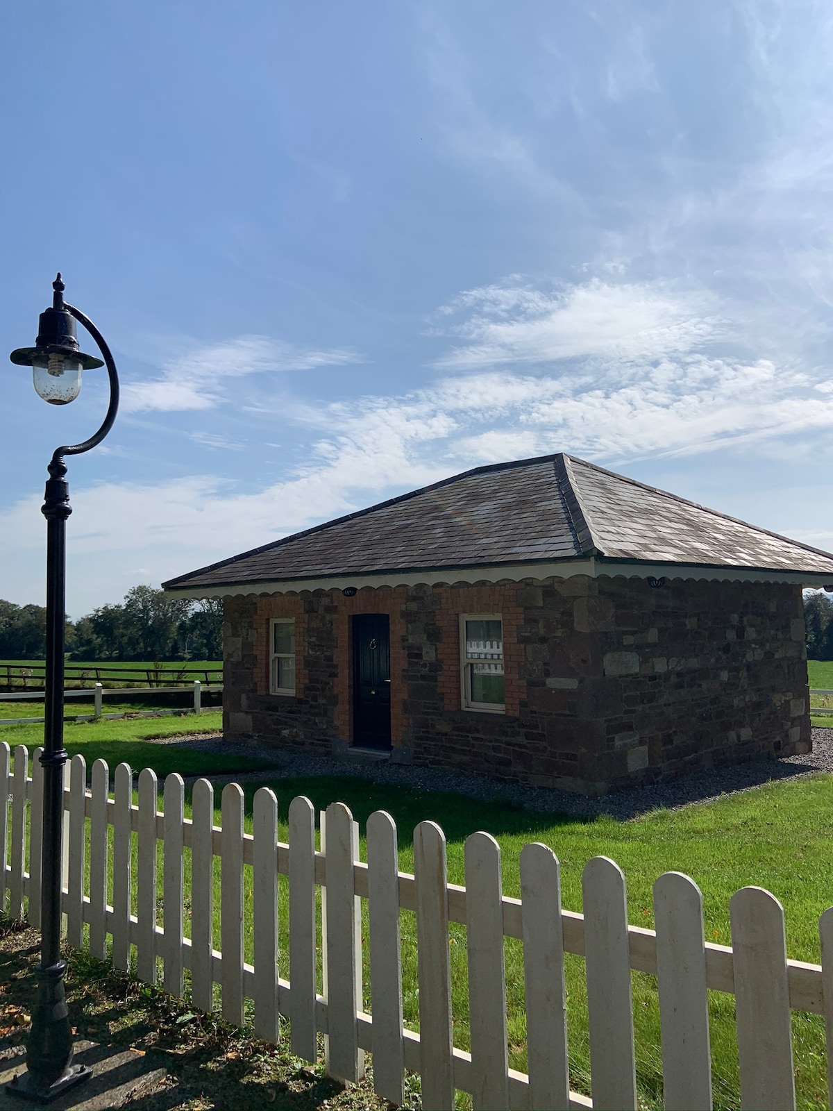 Hut site in GalboolaHut site · 950 yd
 Church (in ruins)Church · 1252 yd
 garda station/constabulary barracksgarda station/constabulary barracks · 1621 yd
 Ballyvorneen Ho.Castle, tower house · 1.7 mi
 Black Castle (Site of)Castle, unclassified · 1.9 mi
 St. Patrick's WellSpring · 2.4 mi
 Kilteely HillMountain / peak · 2.7 mi
 KnockseefinMountain / peak · 3.5 mi
 ToberagaddySpring · 4.9 mi
 Flat cemetery in Knockainy WestFlat cemetery · 5.3 mi
 Ballinvreena LoopVisitor information · 11 mi