What is recorded here
Barrow was a small circular fort on a Cavan drumlin, marked on maps before bulldozers erased it in the 1960s. Its low bank and shallow ditch enclosed barely enough room for a hearth, a loom, and the shadows of the people who lived there. The earth swallowed the name, the doors, and the arguments of the household, leaving only a faded line in survey notes. What was lost was not grandeur but the ordinary certainty that someone had stood at that exact spot, breathed, and belonged.
Marked 'Fort' on OS 1836 and 1876 eds. Sited on the WSW slope of a prominent drumlin ridge. Levelled in the early 1960s. The outline of the site was still identifiable in 1969 (OPW 1969). It apparently comprised a small raised subcircular area (int. dims. 8.7m E-W; 7.1m N-S) enclosed by a low earthen bank with possible traces of a shallow external fosse. There was a break in the bank at NNE (local information). Not visible at ground level.
The above description is derived from the published 'Archaeological Inventory of County Cavan' (Dublin: Stationery Office, 1995). In certain instances the entries have been revised and updated in the light of recent research.
Date of upload/revision: 22 December 2008
The monument record does not grant public access. Check the route and ask the landowner before entering private land.
- What survives
- Recorded monument
Places near here
 ToberlyanHoly well · 587 yd
 IndicatedHilltop enclosure · 953 yd
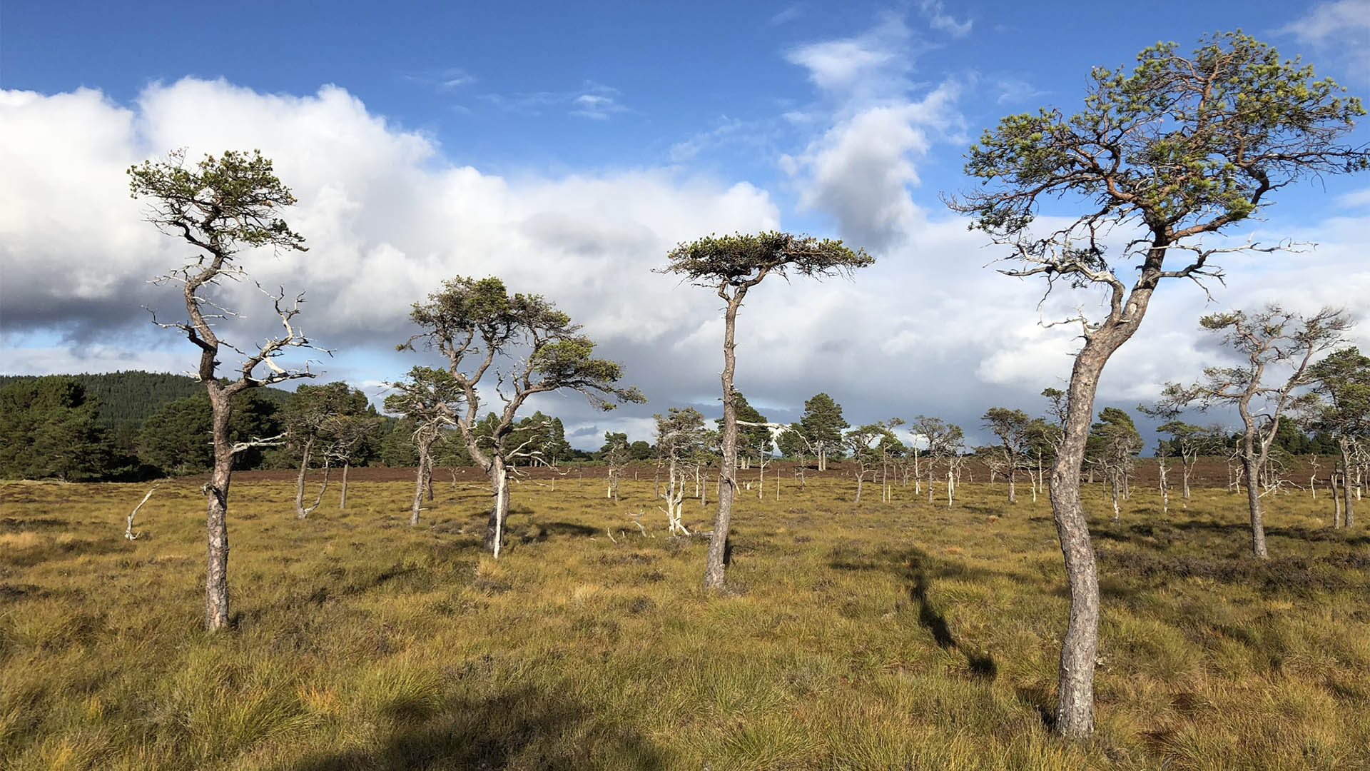 Derrycassan Bog WoodlandWood · 1229 yd
 Saint Patrick's Catholic Churchchurch/chapel · 1302 yd
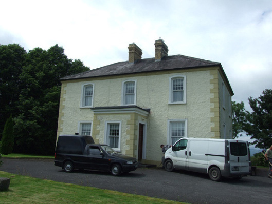 The Presbyterypresbytery/parochial/curate's house · 1350 yd
 Ballyconnell Log CabinsForest · 1407 yd
 Killycluggin StoneVisitor information · 1.1 mi
 Bellaheady MountainMountain / peak · 1.2 mi
 Giants GraveArchaeological place · 1.4 mi
 LissanoverCastle, unclassified · 1.6 mi
 DerrynigginMountain / peak · 1.9 mi
 Saint Mogue's IslandIslet · 2.0 mi