What is recorded here
Barrow is a plough-levelled circular enclosure on the NE outskirts of Kilkenny City, visible only as a cropmark beside the Nore. It may have marked a burial or small ritual place within an older field system, now hidden under tillage and traffic. The ring road and river have changed the edge of the city, but the barrow remains a ghost shape in the soil, waiting for rain or sunlight to reveal it again.
On the NE outskirts of Kilkenny City, immediately E of the outer ring road which was completed in 2007, a river flows southward into the Nore c. 90m to the E, in tillage. Identified on an aerial photograph (GB89.Q.26, 13 July 1989) as a cropmark of a circular enclosure (diam. c. 20m) defined by a deep fosse and an external bank, probably representing a plough-levelled barrow; a cropmark of a small pit in the interior indicates a probable burial deposit. An adjacent cropmark of a circular feature (KK019-122----) appears contiguous and interlinked with a common enclosing external bank. Both monuments are located within a series of fosses delineating a rectilinear field system (KK019-123----), however, these features may not be contemporaneous. The ring-ditch is also visible on Google Earth Pro (imagery date 13 August 2015).
See attached Google Earth image (imagery date 13 August 2015)
Compiled by: Dr. Gillian Barrett for the Archaeological Survey of Ireland and Jean Farrelly
Date of revised upload: 20 October 2020
The monument record does not grant public access. Check the route and ask the landowner before entering private land.
- What survives
- Recorded monument
Places near here
 Church (in ruins)Church · 539 yd
 Enclosure in GarrincreenEnclosure · 769 yd
 Enclosure in NeworchardEnclosure · 823 yd
 Hebron Housefarm house · 1229 yd
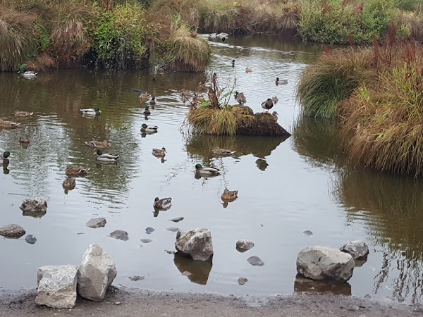 Newpark Marsh ParkNature reserve · 1361 yd
 Jurassic NewparkHeritage attraction · 1411 yd
 J. TobinMemorial · 1651 yd
 Kilkenny AFC & Kilkenny & District Soccer LeagueMemorial · 1680 yd
 Stephens Barracks MuseumMuseum · 1735 yd
 KilkennyVisitor information · 1.1 mi
 Kilkenny County Council Car ParkVisitor information · 1.2 mi
 Black PoplarBlack Poplar · 1.3 mi