What is recorded here
Situated a slight rise in undulating grassland with good views of the surrounding countryside. Ring-barrow (WM009-002---) 410m to W. Depicted as a small circular shaped enclosure and annotated as ‘fort’ on the 1837 OS Fair Plan map. On the 1837 ed. OS 6-inch map the monument is depicted as a small circular mound or earthwork intersected by a public road running E-W at N, at SW by a field boundary running N-S and with farm buildings [Rose Cottage] immediately to W. Monument not depicted on subsequent editions of the OS 6-inch map. No surface remains visible of this levelled monument. This levelled earthwork is depicted in a similar fashion and is the same size as ring-barrow (WM009-002---) 410m to W. Possible levelled burial mound or ring-barrow.
Compiled by: Frank Coyne and Caimin O'Brien
Date of upload: 26 April 2017
A Bronze Age barrow; possibly a bell barrow or round barrow. Its significance lies in its potential as a funerary monument reflecting early burial practices in the region.
The monument record does not grant public access. Check the route and ask the landowner before entering private land.
- What survives
- Recorded monument
Places near here
 Corn MillMill, unclassified · 647 yd
 Bawn in ArcherstownBawn · 897 yd
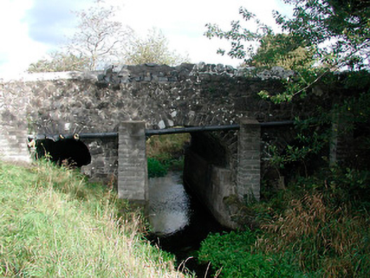 Graulty's Bridgebridge · 1014 yd
 Partially hachuredFairy fort / earthen ringfort · 1262 yd
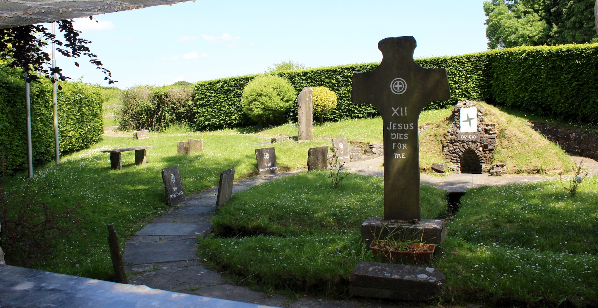 Ecclesiastical enclosure in ArcherstownEcclesiastical enclosure · 1306 yd
 Clonarney Church (in Ruins)Castle, tower house · 1.3 mi
 European ashEuropean ash · 2.0 mi
 Bradley's WoodWood · 2.5 mi
 Kells HillMountain / peak · 2.8 mi
 The Sloe HillMountain / peak · 2.9 mi
 Zip WireHeritage attraction · 6.1 mi
 LoughcrewMegalithic tomb cemetery · 6.4 mi