What is recorded here
The following description is derived from the published 'Archaeological Inventory of County Meath' (Dublin: Stationery Office, 1987). In certain instances the entries have been revised and updated in the light of recent research.
Date of upload/revision: 10 July 2007
Flat circular area defined by fosse, partly rock-cut, and external bank (diam. 63m). Causeway may exist at ESE but bank unbroken and incorporating large slab at this point. (PRIA 1957, 263, No. 2)
The monument record does not grant public access. Check the route and ask the landowner before entering private land.
- What survives
- Recorded monument
Places near here
 Enclosure in ClinstownEnclosure · 1083 yd
 Enclosure in MullaghteelinEnclosure · 1296 yd
 MoatCastle, motte · 1.2 mi
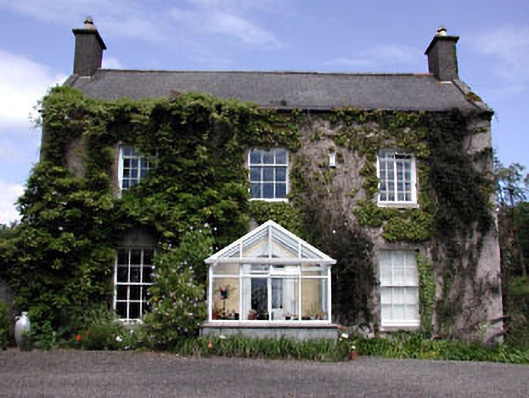 Bellewstown Housefarm house · 1.3 mi
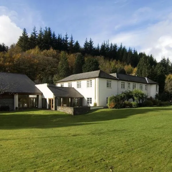 CastleCastle, ringwork · 1.4 mi
 Church in Collierstown (duleek Upper By.)Church · 1.6 mi
 Ballshill PlantingForest · 1.7 mi
 Tullog WoodForest · 2.0 mi
 Battle of Julianstownbattle · 2.8 mi
 Seamus Ennis Cultural CentreMemorial · 3.4 mi
 Bun-na-CnoicMemorial · 3.7 mi
 Naul HillMountain / peak · 4.1 mi