What is recorded here
Situated on a rise, in pasture, with good views of the surrounding landscape. Annotated 'Moat' n the 1837 OS Fair Plan map. Monument described in 1973 as an irregular oval-shaped mound of earth and stone. The W portion and the top have been quarried away. There is no trace of an enclosing fosse. This may represent the remains of a disturbed barrow. According to local information, a burial was found here when quarrying for sand in 1969. Monument is visible as a disturbed mound on Digital Globe aerial photography.
Compiled by Alison McQueen, Vera Rahilly and Caimin O’Brien.
Date of upload: 17 November 2019
A Bronze Age barrow; its location on a prominent rise suggests a ceremonial or funerary function within a prehistoric landscape. The 19th-century map annotation and 1973 description indicate possible modifications or partial survival of an originally more defined monument.
This remains an important historical record, but the official description says the monument is no longer visible or has been destroyed. The monument record does not grant public access. Check the route and ask the landowner before entering private land.
- What survives
- No visible remains or recorded as destroyed
Places near here
 Partially hachuredFairy fort / earthen ringfort · 401 yd
 Donore Bridgebridge · 817 yd
 Hut site in CloghanaskawHut site · 869 yd
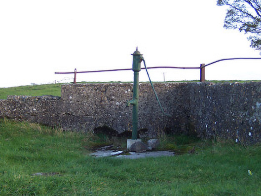 water pumpwater pump · 1016 yd
 Syonan CastleCastle · 1.1 mi
 Killalea FortCastle, motte · 1.2 mi
 Kilmalady HillMountain / peak · 3.4 mi
 Japanese pagoda treeJapanese pagoda tree · 4.0 mi
 Chapel HillForest · 5.5 mi
 ToberaskeenSpring · 5.7 mi
 Roughan HillMountain / peak · 5.9 mi
 Charles BianconiMemorial · 7.1 mi