What is recorded here
The following description is derived from both the published 'Archaeological Inventory of County Louth' (Dublin: Stationery Office, 1986) and the 'Archaeological Survey of County Louth' (Dublin: Stationery Office, 1991). In certain instances the entries have been revised and updated in the light of recent research.
Date of upload/revision: 17 July 2007
Situated on W side of an outcropping ridge overlooking the Mattock River. Ringbarrow, comprising a flat central platform (diam. 7.5m) enclosed by two fosses with intervening bank. The inner fosse (Wth 3.7m, D 0.2m) is enclosed by a bank (Wth 7.7m) which has been denuded almost to ground level from SW-N-NE. The outer fosse (Wth 9.5m, D 1.7m), visible only from NE-S-SW, has recently been recut. (Overall diam. 45-50m).
The monument record does not grant public access. Check the route and ask the landowner before entering private land.
- What survives
- Recorded monument
Places near here
 St. Bernards ChapelChurch · 116 yd
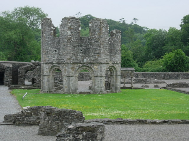 Mellifont Abbey (in Ruins)Religious house, Cistercian monks · 144 yd
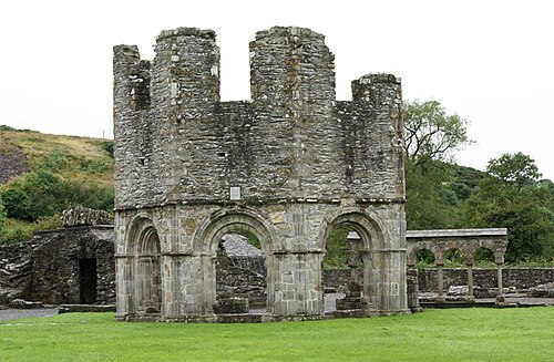 Mellifont AbbeyHeritage attraction · 151 yd
 European ashEuropean ash · 154 yd
 School WoodForest · 1474 yd
 Hurcle HillMountain / peak · 1483 yd
 Enclosure in SheepgrangeEnclosure · 1611 yd
 Passage tomb in TownleyhallPassage tomb · 1.5 mi
 Drummond TowerCastle · 1.5 mi
 Irish Military Museum And ParkMuseum · 1.6 mi
 Battle of the Boyne Visitor CentreMuseum · 2.1 mi
 Battle of the BoyneMajor battlefield · 2.1 mi