What is recorded here
The following description is derived from both the published 'Archaeological Inventory of County Louth' (Dublin: Stationery Office, 1986) and the 'Archaeological Survey of County Louth' (Dublin: Stationery Office, 1991). In certain instances the entries have been revised and updated in the light of recent research.
Date of upload/revision: 17 July 2007
Situated at the NW foot of Red Mt. Circular, round-topped mound (diam. 13m, H 1.5-2m) enclosed by a fosse, of which slight traces only remain at N. On top of the mound is a slight depression, owing to modern disturbance, in which lies a slab (L 0.7m, Wth 0.5m). Under this slab was found a large portion of an urn and fragments of cremated bone (see LH021-041002-). These are now in the National Museum (NMI reg. nos 1967: 198-9). Site known locally as 'Cooney's Moat'. (JRSAI 1970, 152)
The monument record does not grant public access. Check the route and ask the landowner before entering private land.
- What survives
- Recorded monument
Places near here
 Structure in BalgatheranStructure · 504 yd
 Fulacht fia in CoolforeFulacht fia · 724 yd
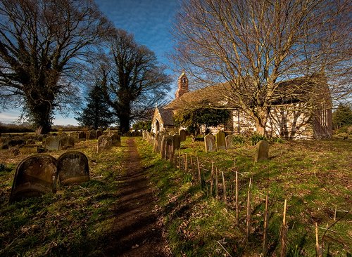 Church in CoolforeChurch · 1467 yd
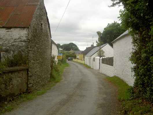 outbuildingoutbuilding · 1473 yd
 MonasterboiceEarly monastic site · 1.4 mi
 Muiredach's High CrossHeritage attraction · 1.4 mi
 Drummond TowerCastle · 1.5 mi
 BarabonaMountain / peak · 1.7 mi
 Quarry Garden WoodForest · 2.3 mi
 School WoodForest · 2.4 mi
 Battle of the Boyne Visitor CentreMuseum · 2.5 mi
 Battle of the BoyneMajor battlefield · 2.5 mi