What is recorded here
Visible as a circular barrow-like feature on an aerial photo (OS 1, 3310-1: SMR file) and listed in the SMR (1989) and RMP (1995) as a 'Potential site - aerial photo'. The location of this 'barrow' feature approximately coincides with the central of the three circle of stones indicated in this field on the 1st. ed. OS 6-inch map (1837) and may represent the last vestiges of a monument identified by Petrie (1837, Carrowmore 39; SL014-209062-).
The barrow-like feature is visible at the centre of the attached image.
Compiled by: Paul Walsh
Date of upload: 28 January 2014
The monument record does not grant public access. Check the route and ask the landowner before entering private land.
- What survives
- Recorded monument
Places near here
 CashelFairy fort / stone ringfort · 133 yd
 Carrowmore 32Archaeological place · 174 yd
 Carrowmore Visitors CentreVisitor information · 838 yd
 Carrowmore Megalithic CemeteryHeritage attraction · 959 yd
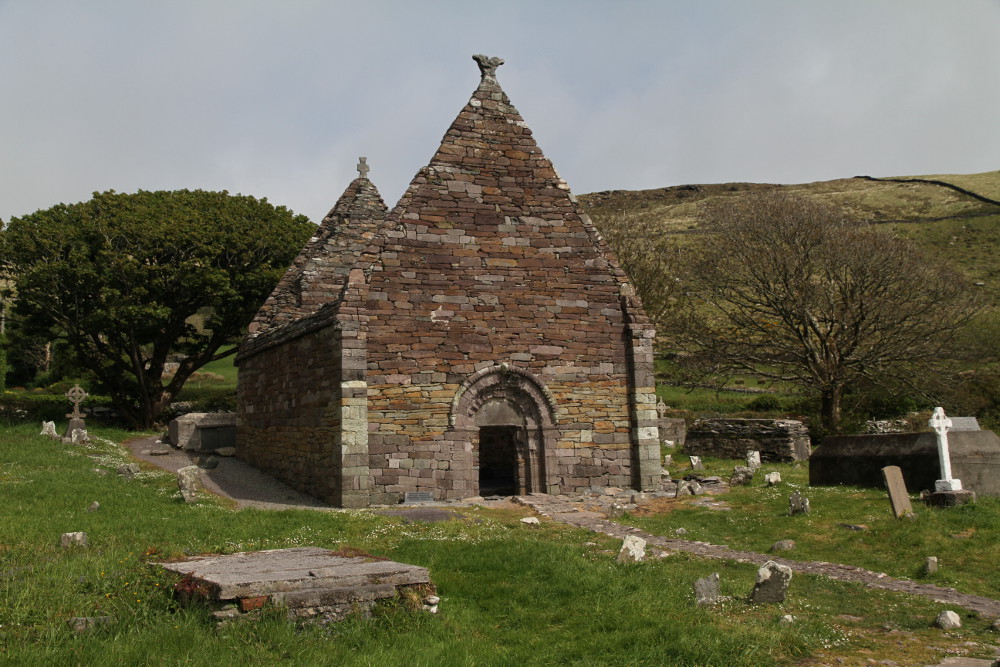 Kilmacowen Church (in Ruins)Church · 1412 yd
 Kiln in BreeogeKiln · 1701 yd
 Castle (in Ruins)Castle, unclassified · 1.7 mi
 CarrigeenfaddaIslet · 1.8 mi
 Knocknarea trailWalking route · 2.1 mi
 St. John's CathedralMemorial · 2.5 mi
 Discover IrelandVisitor information · 2.6 mi
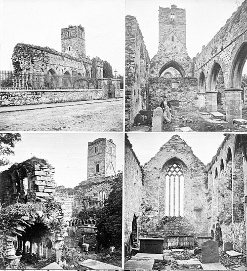 Sligo AbbeyMuseum · 2.7 mi