What is recorded here
Barrow is a small ovoid mound in low pasture beside a Fanningstown boundary stream, preserving a shallow scarped edge and a partly hidden fosse that vegetation still outlines. It sits near an old ringfort, suggesting the flat ground once marked a lived or remembered place rather than empty field. The mound may have guided people through wet pasture or honoured someone whose name has not survived.
In low-lying level pasture 10m S of a stream that marks the townland boundary with Fanningstown. Ringfort (LI022-229----) located 120m to SW. Surveyed by the ASI in 2000 and described as an ovoid shaped area (9.5m N-S; 12m E-W) defined by a scarped edge (H 0.4m) and an external fosse (W 2.8m; D 0.5m) only visible from NE-E-SE. Vegetation indicates the outline of a filled-in fosse from SE-S-W-NW. The undulating interior is clear of vegetation. The outline of the monument is clearly visible on Google Earth orthoimage taken 25/03/2017 but not on Google Earth image dated 07/02/2018.
See attached sketch plan surveyed by the ASI and Google Earth orthoimages
Compiled by: Martin Fitzpatrick
Date of upload: 7 August 2020
The monument record does not grant public access. Check the route and ask the landowner before entering private land.
- What survives
- Recorded monument
Places near here
 (Site of) Garryellen CastleCastle, unclassified · 451 yd
 Dotted outlineBawn · 482 yd
 BarrowBarrow, ring-barrow · 631 yd
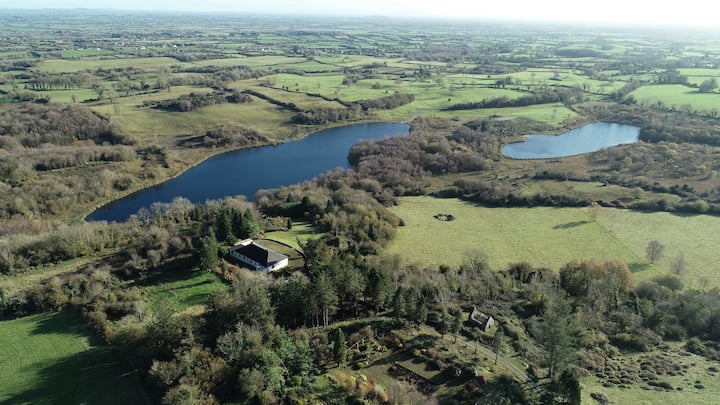 Enclosure in BadgerfortEnclosure · 684 yd
 Villiers WellSpring · 737 yd
 RoadRoad, road/trackway · 1.0 mi
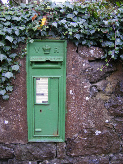 post boxpost box · 1.2 mi
 Carnane RockNamed rock · 1.2 mi
 Monasteranenagh AbbeyHeritage attraction · 3.8 mi
 Biodiversity in the Maigue CatchmentVisitor information · 5.1 mi
 European ashEuropean ash · 5.1 mi
 Dysert AenghusaHeritage attraction · 5.9 mi