What is recorded here
Possible site of unclassified barrow identified in field to the W of gas pipeline (Gowen 1988, 73). No surface remains visible on OSi orthoimages or Google Earth orthophotos.
See attached gas pipeline location showing possible barrow identified with open triangle to the W of gas pipeline and Google Earth orthoimages.
Compiled by: Fiona Rooney
Date of upload: 3 November 2021
The monument record does not grant public access. Check the route and ask the landowner before entering private land.
- What survives
- Recorded monument
Places near here
 Field system in Killeen (coshlea By., Ballylanders Ed)Field system · 497 yd
 St Patricks WellHoly well · 576 yd
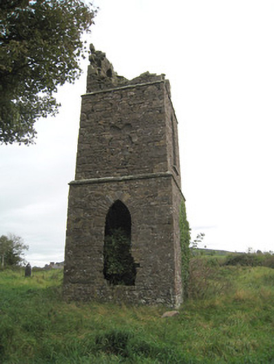 Duntryleague Church (Galbally)church/chapel · 955 yd
 Duntryleague - hachuredCastle, ringwork · 979 yd
 Partially hachuredQuarry · 1525 yd
 Darby's Bed Walk LoopWalking route · 1.1 mi
 Duntryleague HillMountain / peak · 1.1 mi
 Site of Castle, Castle FieldCastle, unclassified · 2.1 mi
 Saint Patrick's WellSpring · 2.1 mi
 SlievereaghMountain / peak · 2.9 mi
 Edmund's WellSpring · 3.2 mi
 Ballinvreena LoopVisitor information · 4.0 mi