What is recorded here
Thirty-five metres south of Rath LF014-082----, a low circular barrow still holds its shape in wet Longford pasture. Its earth and stone bank has thinned to a ghost, yet the raised floor and broken scarp preserve the outline of an old chamber. The narrow NNW gap may be the entrance they used, a dark mouth waiting beneath the grass.
In wet, low-lying pasture, c. 35m to the S of a rath (LF014-082----). A raised circular area (diam. at base 8.1m) enclosed from SE-S-W by a much-denuded, low bank of earth and stone (Wth 3.8m; H 0.1-0.25m) and defined elsewhere by a scarp (H 0.7m). There is no trace of an encircling fosse or bank. A depression (Wth 1.45m) in the scarp at NNW may mark the original entrance.
Compiled by: Patrick F. O'Donovan
Date of upload: 26 August 2011
This remains an important historical record, but the official description says the monument is no longer visible or has been destroyed. The monument record does not grant public access. Check the route and ask the landowner before entering private land.
- What survives
- No visible remains or recorded as destroyed
Places near here
 KilnKiln, lime · 525 yd
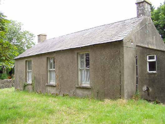 Corboy National Schoolschool · 685 yd
 Enclosure in CloonahardEnclosure · 1.0 mi
 Oldtown DemesneForest · 1.1 mi
 Enclosure in LisnanaghEnclosure · 1.2 mi
 Oldtown CopseWood · 1.2 mi
 Bawn in LissardowlanBawn · 1.5 mi
 CastleCastle, Anglo-Norman masonry castle · 1.5 mi
 Bully's Acregraveyard/cemetery, unknown · 4.8 mi
 Saint Mel's CathedralCathedral · 4.8 mi
 National Famine WayWalking route · 4.9 mi
 First World War MemorialMemorial · 4.9 mi
Other information
Photo: Credit not shown in the picture search · Rights wording not checked; contact us if this picture should be removed