What is recorded here
In pasture, on a low rise. A circular slightly raised area (diam. c. 20m) surrounded by a fosse and a slight external bank is visible as a shadow site in an aerial photograph taken in 1956 (ACAP, V 245/96-7). This possible barrow is not visible at ground level.
Compiled by: Elizabeth Byrne, Ursula Egan and Sheila Ronan, Archaeological Survey Unit, University College, Cork.
Date of upload: 31 January 2011
A Bronze Age barrow, likely a ring barrow or bell barrow, with a surrounding ditch and external bank. Its presence indicates early ceremonial or funerary activity in the area, though its specific cultural or regional significance remains unclear due to lack of excavation or detailed study.
The monument record does not grant public access. Check the route and ask the landowner before entering private land.
- What survives
- Recorded monument
Places near here
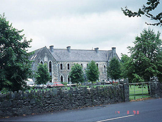 The Old Monasterymonastery · 336 yd
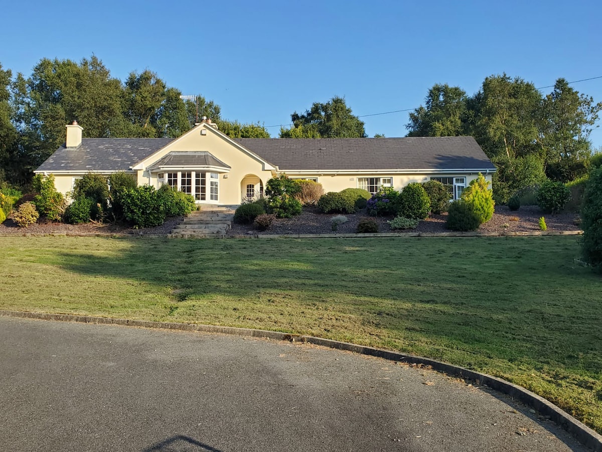 County HomeWorkhouse · 419 yd
 Famine MemorialMemorial · 420 yd
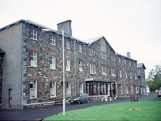 Saint Columbanus's Community Hospitalhospital/infirmary · 428 yd
 St. Margarets WellHoly well · 459 yd
 GinkgoGinkgo · 510 yd
 Giant SequoiaGiant Sequoia · 540 yd
 Cairn of PeaceMemorial · 643 yd
 Circular WalkWalking route · 812 yd
 Jaunting ToursHeritage attraction · 1198 yd
 River WalkWalking route · 1588 yd
 Lamb IslandIsland · 1.4 mi