
What is recorded here
Three circular areas defined by banks (diams. av. 6.25m) were identified near the shoreline immediately S of Bremore passage tomb cemetery in the 1950s (Hartnett 1957, 264). Geophysical survey (Licence no. 06R0050) identified an enclosure located approximately 110m SW of Mound I (DU002-007001-) that may correspond with one of Harnett's sites. The geophysical anomaly comprises as a circular ditch (25m diam.). No internal features were identified. The remaining two sites were not identified by the geophysical survey (Gimson 2006, 10). The field is under tillage. Not visible at ground level. The Bremore headland was also subject to a constraint study carried out by Margaret Gowen & Company Ltd. in advance of a proposed port. In addition fieldwalking and lithic analysis was undertaken for an MA study (Collins, 2007).
Compiled by: Geraldine Stout
Updated by: Christine Baker
Date of upload: 16 April 2015
Neolithic barrow; 4th–3rd millennium BCE. These features are associated with a broader passage tomb cemetery, indicating a significant ritual landscape in the Neolithic period.
The monument record does not grant public access. Check the route and ask the landowner before entering private land.
- What survives
- Recorded monument
Places near here
 Settlement cluster in BremoreSettlement cluster · 121 yd
 Passage tomb in BremorePassage tomb · 124 yd
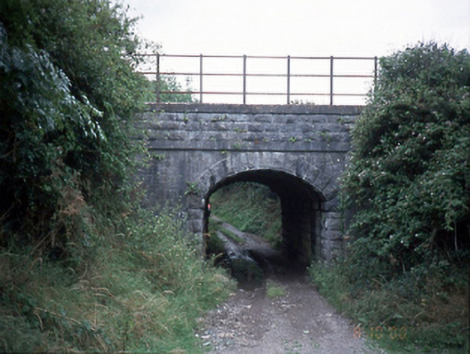 bridgebridge · 1177 yd
 QuarryQuarry · 1231 yd
 CastleHouse, fortified house · 1473 yd
 Bremore CastleCastle · 1481 yd
 Balbriggan Tourist OfficeVisitor information · 1.5 mi
 European YewEuropean Yew · 1.8 mi
 Clonard SpringSpring · 2.0 mi
 SycamoreSycamore · 2.0 mi
 Ben HeadCliff · 2.1 mi
 Balrothery Heritage CentreMuseum · 3.0 mi
Other information
Photo: Credit not shown in the picture search · Rights wording not checked; contact us if this picture should be removed