What is recorded here
Eight barrows cluster on a narrow esker in County Kildare, six aligned north-south inside a girdling enclosure while two lie slightly downslope to the south. Netles choke the level pasture above them, and scarred ground to the north and east marks earlier sand and gravel extraction. The barrows still hold the ridge like buried chambers, waiting for someone to remember why so many holes were dug in one small strip of earth.
Eight barrows occupy the fairly level, nettle-covered, narrow upper surface of a short, N-S esker in level pasture, with evidence of previous extensive sand/gravel extraction immediately to the N and E. Six contiguous barrows (KD019-001001-, KD019-001002-, KD019-001003-, KD019-001006-, KD019-001008-, KD019-001009-) run N-S, in-line at the N end of the esker and are contained in an enclosure (KD019-001004-) which girdles the lower slopes of the esker, while a seventh and eight barrow (KD019-001005-, KD019-001007-, ) lies c. 48m slightly down slope, and outside the enclosure, to the S.
Compiled by: Caimin O'Brien with details kindly provided by Chris Corlett
Date of upload: 29 November 2018
A Bronze Age barrow; part of a cluster associated with an esker landscape, reflecting early funerary practices in a formerly resource-extracted area.
The monument record does not grant public access. Check the route and ask the landowner before entering private land.
- What survives
- Recorded monument
Places near here
 IndicatedEnclosure · 46 yd
 Digby Bridge and 16th Lockbridge · 1029 yd
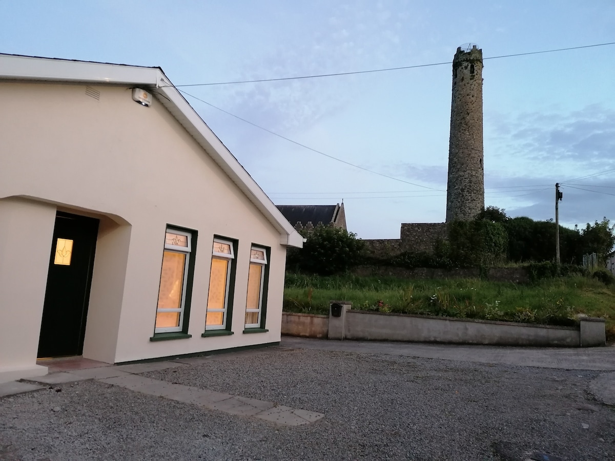 Enclosure in BallysizeEnclosure · 1182 yd
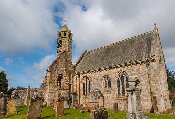 Brides Church (in ruins)Church · 1382 yd
 Sallins LodgeCastle, tower house · 1.6 mi
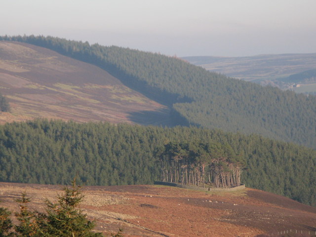 TumulusWood · 1.9 mi
 Museum of MotorsportMuseum · 2.0 mi
 Castle (in Ruins)Castle, unclassified · 2.0 mi
 Naas ParkWood · 2.3 mi
 Poplar SquarePicnic place · 2.8 mi
 Grand Canal WayVisitor information · 5.0 mi
 Athgoe HillMountain / peak · 7.9 mi