What is recorded here
Eight barrows cluster on a narrow esker in County Kildare, six aligned inside an enclosure while two lie slightly downhill outside it. The tight grouping suggests a community that marked death, memory or ownership on a small ridge rather than scattering burials across open pasture. Sand and gravel extraction beside the esker shows how quickly modern hunger can swallow the edges of ancient life.
Eight barrows occupy the fairly level, nettle-covered, narrow upper surface of a short, N-S esker in level pasture, with evidence of previous extensive sand/gravel extraction immediately to the N and E. Six contiguous barrows (KD019-001001-, KD019-001002-, KD019-001003-, KD019-001006-, KD019-001008-, KD019-001009-) run N-S, in-line at the N end of the esker and are contained in an enclosure (KD019-001004-) which girdles the lower slopes of the esker, while a seventh and eight barrow (KD019-001005-, KD019-001007-, ) lies c. 48m slightly down slope, and outside the enclosure, to the S.
Compiled by: Caimin O'Brien with details kindly provided by Chris Corlett
Date of upload: 29 November 2018
A Bronze Age barrow; part of a group associated with esker landscapes, significant for understanding early funerary practices and settlement patterns in the eastern midlands.
The monument record does not grant public access. Check the route and ask the landowner before entering private land.
- What survives
- Recorded monument
Places near here
 IndicatedEnclosure · 83 yd
 Digby Bridge and 16th Lockbridge · 1056 yd
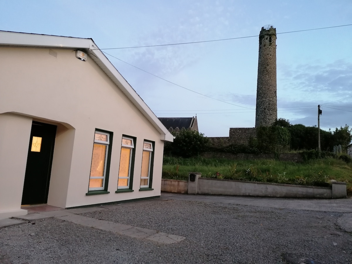 Enclosure in BallysizeEnclosure · 1180 yd
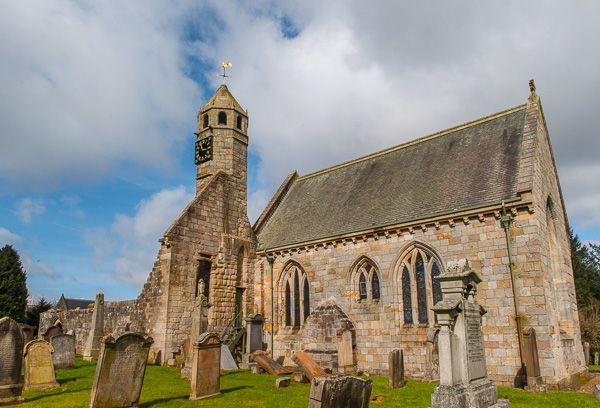 Brides Church (in ruins)Church · 1347 yd
 Sallins LodgeCastle, tower house · 1.6 mi
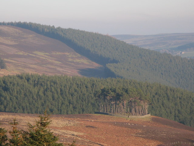 TumulusWood · 1.9 mi
 Museum of MotorsportMuseum · 2.0 mi
 Castle (in Ruins)Castle, unclassified · 2.1 mi
 Naas ParkWood · 2.3 mi
 Poplar SquarePicnic place · 2.8 mi
 Grand Canal WayVisitor information · 5.0 mi
 Athgoe HillMountain / peak · 7.9 mi