What is recorded here
Yes. You can use the supplied facts about the exact requested feature. Keep the distinction between the completed chamber, its missing cover and any separate unclassified barrow unchanged.
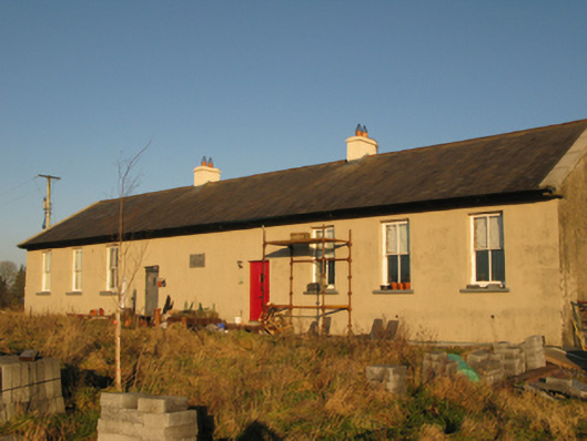
In a small walled field immediately to N of a ruined stone cottage, with a modern farmstead to NW. The N side of the field is bordered by a road. Ground rises gradually to N to an area of rough rocky land, and falls away gently to S and W to improved grassland.
Not indicated on the 1838 OS 6-inch map; shown as a small circular hachured feature on the 1916 edition, with a farmstead immediately to S.
Roughly circular earth and stone mound (diam. c. 4m; H 0.8-1m) defined on the E arc by rough kerb of large irregular-shaped stones and bounders. A scatter of smaller loose stones on the top of the mound may be field clearance stones. Ash trees grow around the perimeter.
The nature of this mound is uncertain. It may be a form of barrow, a cairn or possibly a feature associated with the adjacent ruined vernacular farmstead.
Compiled by: Jane O’Shaughnessy
Date of upload: 27 October 2022
The monument record does not grant public access. Check the route and ask the landowner before entering private land.
- What survives
- Recorded monument
Places near here
 IndicatedEnclosure · 606 yd
 Enclosure in Garraun (costello By.)Enclosure · 704 yd
 teacher's houseteacher's house · 1.6 mi
 Kiltullagh ChurchChurch · 1.7 mi
 Slieve DartMountain / peak · 4.7 mi
 CastleCastle, unclassified · 5.1 mi
 Castle in ruinsCastle, unclassified · 7.5 mi
 East Mayo Brigade MonumentMemorial · 10 mi
 European ashEuropean ash · 15 mi
 Mass RockNamed rock · 17 mi
 Cross in CorrasluastiaCross · 1.4 mi
 Saint Joseph's National Schoolschool · 1.8 mi