What is recorded here
On a N-facing pasture slope at the edge of an escarpment with steeply sloping ground immediately to the N. Hachured on the Cassini edition (1920) of the OS 6-inch map. A sub-circular mound (basal diams. 13m NW-SE; 12.5m NE-SW; surface diams. 6.5m NW-SE; 5.8m NE-SW; H 0.9-2.05m) is surrounded by a shallow fosse (Wth 2-3m; max. D 0.1m). There are two shallow depressions (max. D 0.1m) in the gently SW-sloping surface of the mound and the mound appears to be composed primarily of earth but with some stone visible.
Summary by: Gearoid Conroy and Conn Herriott
Date of upload: 30 November 2022
The monument record does not grant public access. Check the route and ask the landowner before entering private land.
- What survives
- Recorded monument
Places near here
 CaherEnclosure · 500 yd
 Doonagore Castle in ruinsCastle, tower house · 908 yd
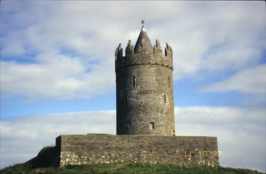 Doonnagore Castlecastle/fortified house · 908 yd
 Enclosure in DoonnagoreEnclosure · 916 yd
 bridgebridge · 1158 yd
 Fisherstreet PotCave · 1183 yd
 Doonmacfelim Castle (in Ruins)Castle, tower house · 1349 yd
 Doolin FerriesHeritage attraction · 1.4 mi
 Wild Atlantic Way: Doolin PierVisitor information · 1.4 mi
 Ballaghaline PointHeadland · 1.5 mi
 Aran View SwalletCave · 1.6 mi
 Doolin Cliff WalkWalking route · 1.6 mi