What is recorded here
In rough pasture, 200m W of townland with Ballygreenan. One of a cluster of six barrows (LI039-044001/006-). Not marked on OSi historic maps. Possible site (Site No. 039136) identified during examination of aerial photographs (BGE 1/50000 2543) taken 03/11/1984 on the Bórd Gáis Éireann Curraleigh West-Limerick gas pipeline. Trace of cropmark of small circular-shaped earthwork visible on OSi orthophoto taken between 2005-12. No surface remains visible on Google earth orthoimage.
See attached aerial photograph from Bórd Gáis Éireann Curraleigh-Limerick gas pipeline (BGE 1/50000 2543).
Compiled by: Fiona Rooney
Date of upload: 6 April 2021
A Bronze Age barrow; part of a cluster indicating a significant burial or ritual landscape. Its discovery through aerial photography highlights the value of such methods in identifying unrecorded monuments.
The monument record does not grant public access. Check the route and ask the landowner before entering private land.
- What survives
- Recorded monument
Places near here
 BarrowBarrow, unclassified · 23 yd
 Field system in Ballygrennan (coshma By., Bruff Ed)Field system · 375 yd
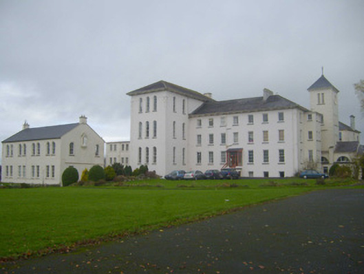 Saint Mary's Conventconvent/nunnery · 1172 yd
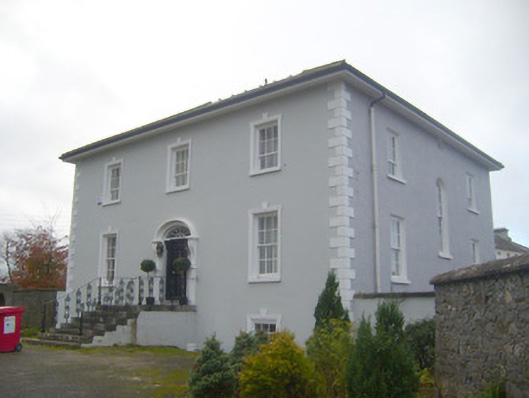 presbytery/parochial/curate's housepresbytery/parochial/curate's house · 1266 yd
 Castle (in ruins)Castle, unclassified · 1449 yd
 Ballygrennan Castle (in ruins)Castle, tower house · 1.0 mi
 Lough GurVisitor information · 3.4 mi
 Grange Stone CircleArchaeological place · 3.5 mi
 KnockainyMountain / peak · 3.8 mi
 Flat cemetery in Knockainy WestFlat cemetery · 4.5 mi
 European ashEuropean ash · 6.6 mi
 St Patrick's WellSpring · 7.1 mi