What is recorded here
Situated on a slight S-facing slope. This is a raised circular and grass-covered area (diam. 55.5m ENE-WSW; 51.5m NNW-SSE) defined by a fosse (Wth of top 8m at ENE to 15m at S; int. D 1.6-2m; ext. D 0.7m at ENE to 1.6m at S) and an outer bank (Wth of base 10m at WSW to 15m at ENE; Wth of top 1m at S to 12m at ENE; ext. H 1.8m at WSW to 2.3m at ENE-S) and a slight outer fosse (Wth of top 9-13m; Wth of base 2m; ext. D 0.3-0.5m). A field bank (Wth of base 6m; int. H 0.5m; ext. H 2.3m) is built on the outer edge of the bank and forms the townland boundary with Killowen to the E from NE-ESE where the outer fosse is transformed into a drain (Wth of top 6.5m; Wth of base 1m; ext. D 2m) (max. ext. diam. 107m ENE-WSW). There is an entrance in the bank with the remains of a causeway across the fosse is at E.
The above description is derived from the published 'Archaeological Inventory of County Meath' (Dublin: Stationery Office, 1987). In certain instances the entries have been revised and updated in the light of recent research.
Compiled by: Michael Moore
Date of upload: 10 July 2007
Amended: 29 October 2021, 24 March 2023
Stepped barrow, likely dating to the Early Bronze Age. Its construction and stepped design reflect significant ritual or funerary practices of the period.
The monument record does not grant public access. Check the route and ask the landowner before entering private land.
- What survives
- Recorded monument
Places near here
 Grave YardChurch · 333 yd
 IndicatedEnclosure · 1126 yd
 EnclosureEnclosure, large enclosure · 1332 yd
 Saint Oliver Plunkett 1625-1681Memorial · 1.1 mi
 Mulhussy CastleCastle, tower house · 1.2 mi
 1798 MemorialMemorial · 1.6 mi
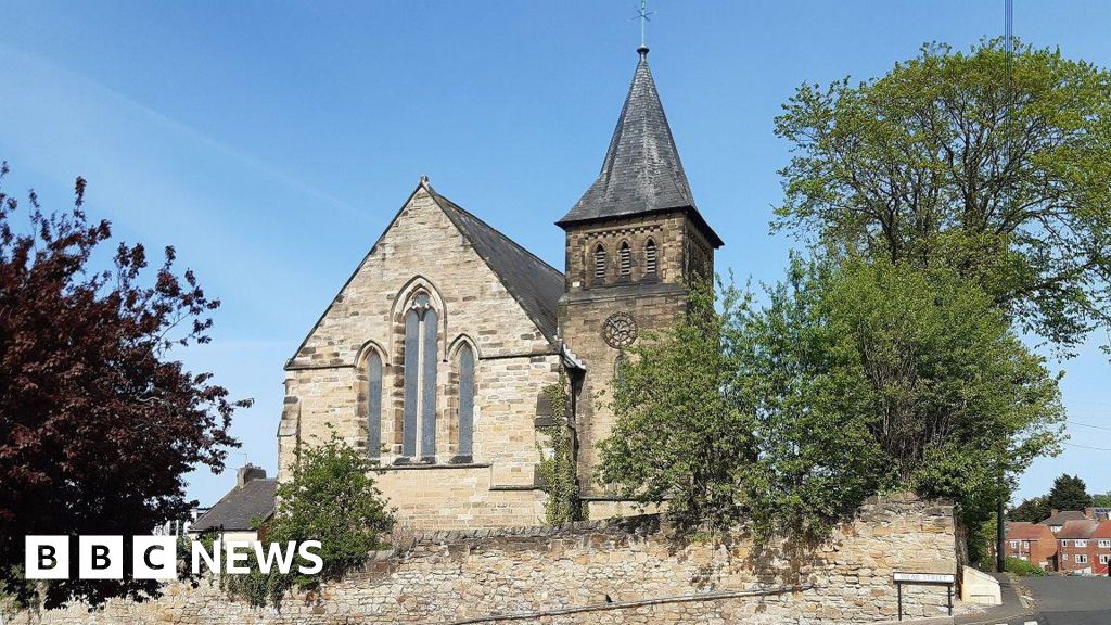 Church (Disused)Church · 2.1 mi
 Rodanstown fortCastle, motte · 2.2 mi
 MullaghMountain / peak · 2.3 mi
 Lebanon CedarLebanon Cedar · 3.1 mi
 Common LimeCommon Lime · 3.5 mi
 Library GardenHeritage attraction · 3.5 mi