What is recorded here
In undulating pastureland. Marked on the 1838 edition of the OS 6-inch map as an embanked circular enclosure (diam. c. 60m) with a central mound is shown. On inspection a well-preserved circular earthwork (diam. c. 10m) comprising a low platform of earth and stone with a small circular raised area (diam. c. 2m) at its centre was visible; possibly a mound barrow. A series of hollows and trenches surrounding the monument appeared to be modern. Quarrying had occurred on its S side.
Compiled by: Galway Archaeological Survey, UCG
Date of upload: 25 July 2019
Stepped barrow; likely dates to the Early Bronze Age. Its stepped construction is a distinctive regional variant of passage tomb architecture in Ireland, reflecting early funerary and ritual practices.
The monument record does not grant public access. Check the route and ask the landowner before entering private land.
- What survives
- Recorded monument
Places near here
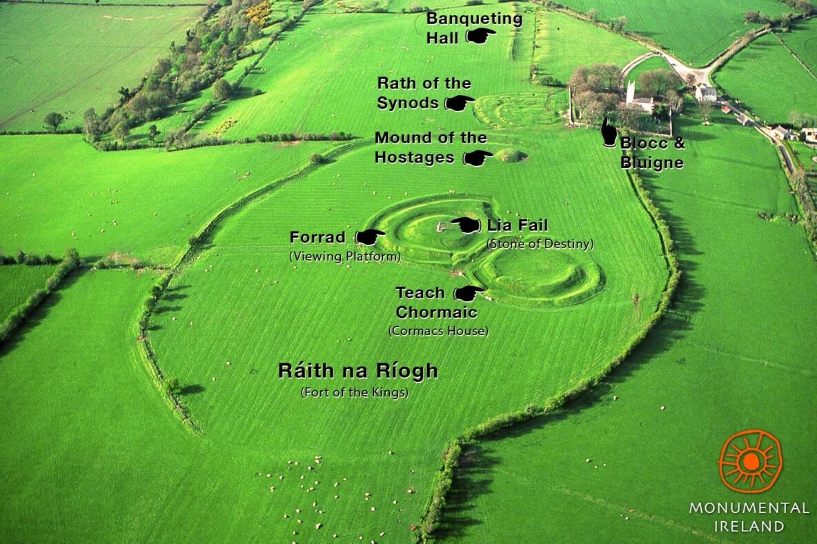 Inauguration site in Grannagh (loughrea By.)Inauguration site · 422 yd
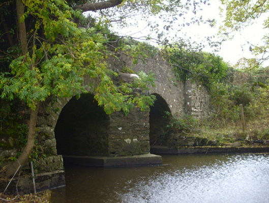 bridgebridge · 633 yd
 Enclosure in Grannagh (loughrea By.)Enclosure · 730 yd
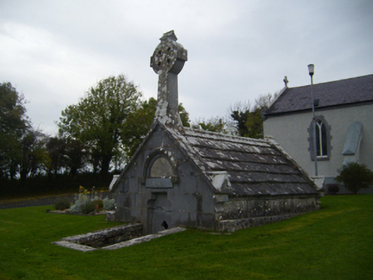 Saint Teresa's Catholic Churchmausoleum · 1295 yd
 Castle (in ruins)Castle, Anglo-Norman masonry castle · 1361 yd
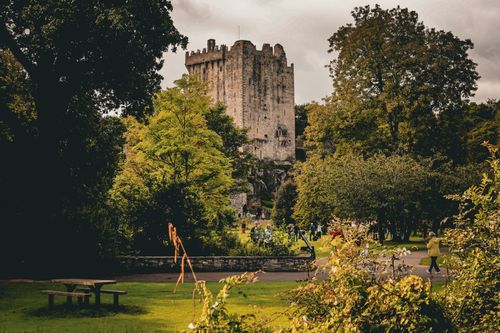 Bawn in CastleparkBawn · 1.1 mi
 HawthornHawthorn · 3.6 mi
 European ashEuropean ash · 3.6 mi
 KnockapollboyMountain / peak · 4.3 mi
 Drumharsna CastleHeritage attraction · 4.7 mi
 Scalpeen RockNamed rock · 4.8 mi
 Drumacoo Monastic SiteHeritage attraction · 8.2 mi