What is recorded here
Situated at the NE edge of a low rise, in pasture, with wide views to N and E and overlooked by rising ground to S and W. Ringfort (WM025-037001-) and Man-made underground passage (WM025-037002-) lie c. 40m to S. Not depicted on the 1837 ed. OS 6-inch map or the revised 1913 ed. OS 25-inch map. Monument described as a circular-shaped area enclosed by a low, wide bank of earth and stone which is almost reduced to a scarp which remains quite steep from N-E with no evidence of an external fosse. In the centre is a high roughly rectangular-shaped platform, which may be a house site. A field system intersects the monument at N, E and SW. Morphology of monument visible today on Digital Globe aerial photograph suggests that this site may be the remains of a barrow rather than a ringfort with central house site. Outline of central mound clearly visible on oblique aerial photographs (CUCAP AOZ001/AYR012/017/018) taken 12/07/1966 and 11/07/1969 respectively.
See attached plan and profile of monument surveyed and drawn by the ASI.
Compiled by Alison McQueen, Vera Rahilly and Caimin O’Brien.
Date of upload: 05 September 2019
Stepped barrow, likely dating to the Early Bronze Age. Its construction and positioning suggest a ceremonial or funerary function, possibly linked to early metalworking communities in the region.
The monument record does not grant public access. Check the route and ask the landowner before entering private land.
- What survives
- Recorded monument
Places near here
 IndicatedFairy fort / earthen ringfort · 398 yd
 Site of CastleCastle, unclassified · 1172 yd
 Balrath Lodgehouse · 1261 yd
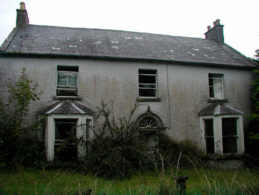 Churchtown Househouse · 1290 yd
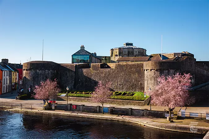 Oldtown CastleCastle · 1344 yd
 Ancient Ring FortWood · 1453 yd
 RathglassEnclosure, large enclosure · 1556 yd
 Hill of UisneachMountain / peak · 2.3 mi
 European ashEuropean ash · 3.2 mi
 Srudarra IslandIslet · 6.8 mi
 Abbeyshrule AbbeyRuins · 8.7 mi
 Kilmalady HillMountain / peak · 8.9 mi