What is recorded here
Located in improved pasture on top of a natural hillock, which is nestled in a low-lying landscape with higher drumlins all around NE-S-NW, and Carn Lough is c. 240m to the N. It is visible on the OSi series of aerial photographs (2005) and on Bing images (c. 2013), and it was first noticed by Katherine McCormack. This is a circular area (diam. 40m N-S; 37m E-W) defined by a steep scarp (at W: Wth 4.4m; H 1.25m) with a berm (at W: Wth 3m) separating it from a scarp or natural slope (at W: Wth 7.0m; H 1.4m) SW-W-NNW. The perimeter declines to low scarp (Wth 4.0m; H 0.8m) NNW-SE and merges into a natural scarped slope (Wth 17.9m; H 3.4m) SE-SW. There are ramp entrances at N (Wth 3.2m) and at NNE (Wth 3.5m), which are c. 4m apart, and there are traces of a fosse (Wth of top 5.75m; Wth of base 1.25m; D 0.1m) NW-NE. The interior slopes down slightly to the N and there is an enclosure inside the perimeter at S. This is a penannular area (dims c. 12m E-W; c. 11.5m N-S) defined by a slight scarp ENE-SE (Wth 2.2m; H 0.05m) and SW-WNW (Wth 1.9m; H 0.3m), but the perimeter is incorporated into that of the platform SE-SW and is absent elsewhere.
Compiled by: Michael Moore
Date of revised upload: 24 March, 2014
Stepped barrow, likely dating to the Early Bronze Age. Its stepped construction is a distinctive regional variant, reflecting early funerary and ritual practices in the area.
The monument record does not grant public access. Check the route and ask the landowner before entering private land.
- What survives
- Recorded monument
Places near here
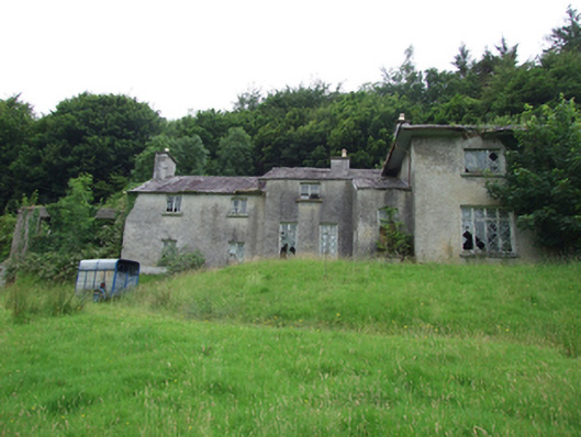 Carn Cottagehouse · 340 yd
 TobermogueHoly well · 572 yd
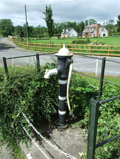 water pumpwater pump · 784 yd
 ClonkeenMountain / peak · 1.7 mi
 Enclosure in KillicarEnclosure · 1.7 mi
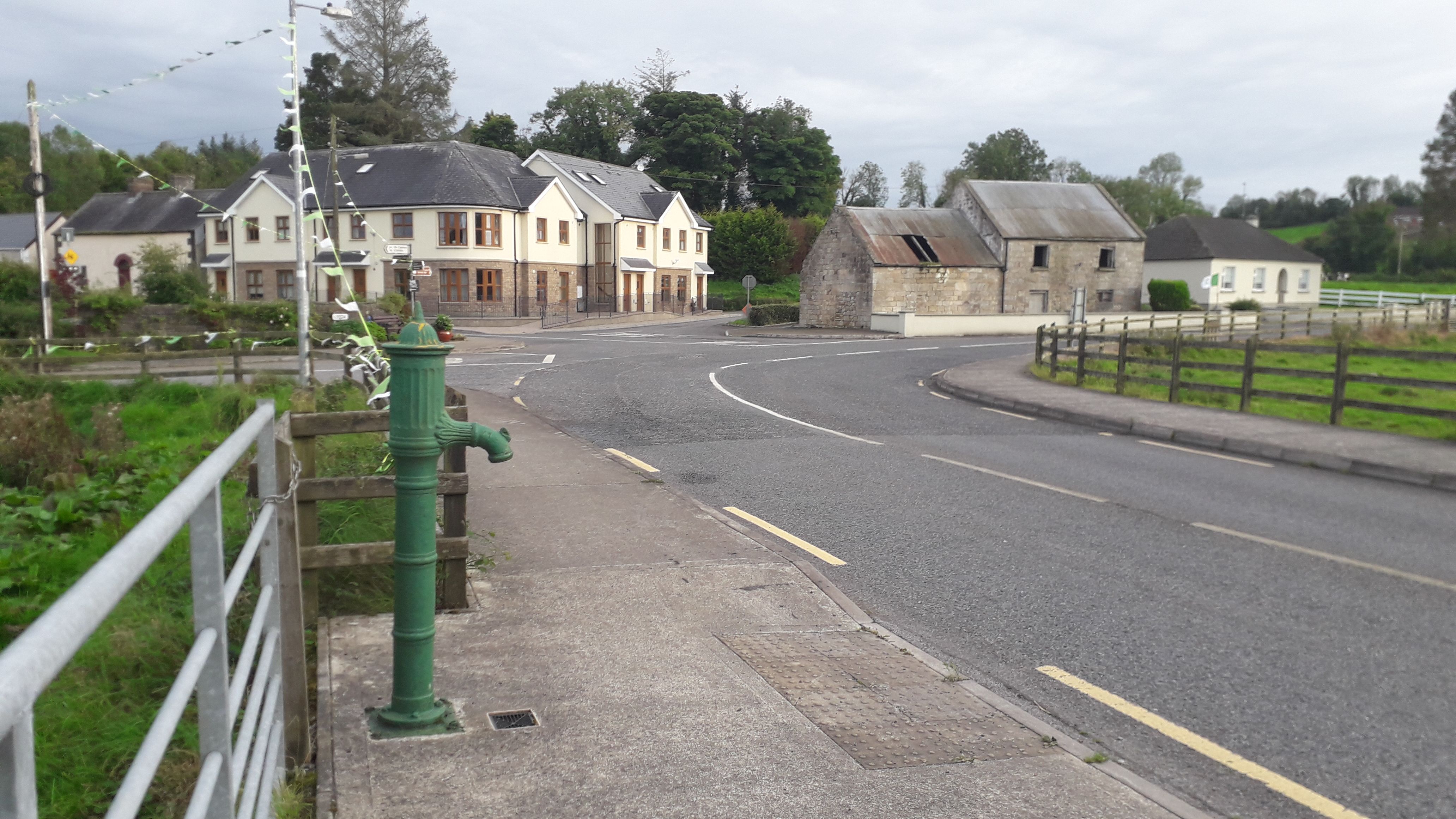 Milltown NorthWood · 1.8 mi
 Drumbagh ForestForest · 2.1 mi
 Bilberry HillMountain / peak · 2.2 mi
 CastleCastle, unclassified · 2.6 mi
 Drumlane AbbeyHeritage attraction · 2.7 mi
 Kieran Doherty TD Cavan Monaghan MemorialMonument · 3.4 mi
 Killeshandra Irish Countrywomen's Association 70th AnniversaryMemorial · 4.0 mi