What is recorded here
In level ungrazed pasture to SE and pasture to NW. Bisected by road, long axis NE-SW. Extant half to SE survives as a semi-circular area (dims. 18m NE-SW; 8m NW-SE) defined by scarp (H 0.9m; Wth 3.75m) NE-SW. The scarp defining the interior falls gently to an almost level berm (L 9m) NE-SW. Truncated by shallow drain (D 0.75m; Wth 2.95m) and tertiary road (long axis NE-SW) through centre. A drain has been cut around exterior of berm NE-SW. Slight rise around edge of berm (Wth 6.5m; int. H 0.35m; ext. H 0.5m) probably upcast from drain. A short portion of outer bank is visible at NE, but there is a gap (Wth c. 10m) ENE-E. Bank (Wth 9m; int. H 0.8m; ext. H 0.6m) continues E-SW. This may have been fosse recut as drain. Interior slopes down uniformly from a higher point at NE to a lower area to SW. Half of monument to NW, generally levelled, but may be a very slight trace of outer bank SW-NE.
Compiled by: Jean Farrelly
Date of upload: 26 August 2011
Stepped barrow, dating to the Early Bronze Age. Its construction technique and orientation are characteristic of funerary monuments in Atlantic Europe, reflecting early ceremonial and burial practices.
The monument record does not grant public access. Check the route and ask the landowner before entering private land.
- What survives
- Recorded monument
Places near here
 BarrowBarrow, unclassified · 382 yd
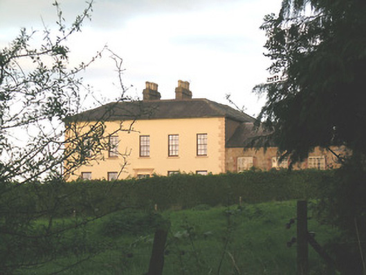 Ballywire Househouse · 442 yd
 Enclosure in Kilross (clonbeg Par.)Enclosure · 945 yd
 Aughaclareen Bridgebridge · 1275 yd
 Carn (site of)Cairn, burial cairn · 1.3 mi
 Darby's Bed Walk LoopWalking route · 1.7 mi
 Duntryleague HillMountain / peak · 1.7 mi
 Duntryleague - hachuredCastle, ringwork · 2.3 mi
 Ryves CastleCastle, unclassified · 2.5 mi
 Saint Patrick's WellSpring · 3.2 mi
 St Patrick's WellSpring · 3.9 mi
 Knockanebrack HillMountain / peak · 4.0 mi