What is recorded here
Monument surveyed in 2015 and described by McGuinness (2015, 71) as following: ‘Roughly circular, fairly well-preserved ring-barrow (Diam. 23.5m NNE-SSW), comprising a flat-topped, steep-sided platform (Diam. 11m NNE-SSW) surrounded by a broad, deep, flat-based ditch, and, where best preserved, by a broad, flat-topped outer bank. For a stretch of 10m at NNW, bank appears to have been mostly removed and the ditch filled in. On NE side, where it appears also to have been damaged, bank bulges outwards and is most massive, possibly incorporating spoil from removal of adjoining stretch of bank at NNW. Although bank and ditch are densely overgrown on W side, visible parts of ditch are fairly uniform in width (2.8m (NE), 2.7m (SE), 2.7m (SW)); the slightly broader range of corresponding measurements for the bank (4.5m (NE), 4.2m (SE), 4.0m (SW)) are attributable to differential erosion of its exterior. Bank rises up to 0.5m above external ground level and up to 1.15m above ditch on E side, and up to 0.2m above central platform on NE side. Barrow is located on level summit of hill in uncultivated land at SW corner of very large ploughed field; the prospect is good, with barrow-cemetery at Lakill and Moortown (WM007-013----; WM007-018----) visible to E, and but for vegetation, the view to W, where the land falls away most sharply, would be superb’.
Compiled by: Caimin O'Brien based on details provided by David McGuinness.
See attached plan of monument surveyed and drawn by the Archaeological Survey of Ireland c. 1977.
Date of upload: 10 February 2016
Neolithic ring-barrow, dating to the early to middle Neolithic period (c. 4000–3000 BCE). It represents a significant type of funerary monument in the Irish landscape, often associated with collective burial and ritual activity.
The monument record does not grant public access. Check the route and ask the landowner before entering private land.
- What survives
- Recorded monument
Places near here
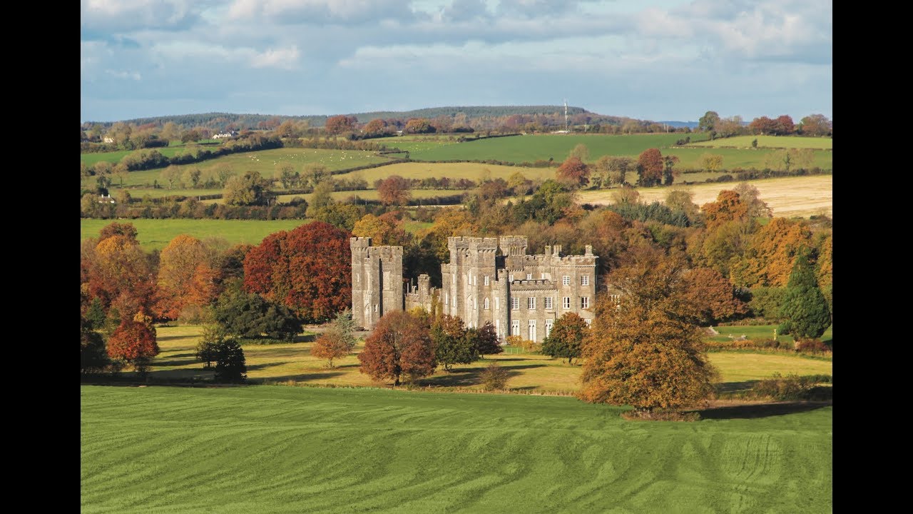 Partially outlinedFairy fort / earthen ringfort · 974 yd
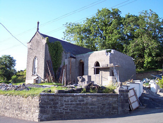 Castlepollard Presbyterian Churchchurch/chapel · 1123 yd
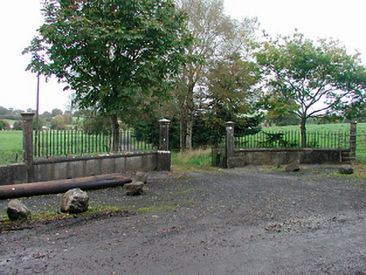 Lough Park Housegates/railings/walls · 1158 yd
 TobernamasalHoly well · 1609 yd
 European ashEuropean ash · 1.9 mi
 Silver FirSilver Fir · 1.9 mi
 CastleCastle, tower house · 2.0 mi
 St Feichin's MillHeritage attraction · 2.1 mi
 Fore AbbeyHeritage attraction · 2.2 mi
 Hachured, dotted outlineCastle, motte and bailey · 2.2 mi
 Castle IslandIslet · 2.3 mi
 Ben of ForeMountain / peak · 2.8 mi