
What is recorded here
On flat pasture land with gravel ridge to the N and river to the S. Circular flat topped mound (top diam. 7.5m; base diam. 13.5m; H 1.35m) with slight evidence of an enclosing fosse at SW. According to the local landowner there was a similar mound located about 3m to the W but it was bulldozed out a couple of years ago.
The above description is derived from the published 'Archaeological Inventory of County Offaly' (Dublin: Stationery Office, 1997). In certain instances the entries have been revised and updated in the light of recent research.
Date of upload: 23 May 2011
A Neolithic ring-barrow, dating to approximately 3000–2500 BCE. It represents a significant early funerary monument type associated with collective burial practices and social organisation in prehistoric Britain.
The monument record does not grant public access. Check the route and ask the landowner before entering private land.
- What survives
- Recorded monument
Places near here
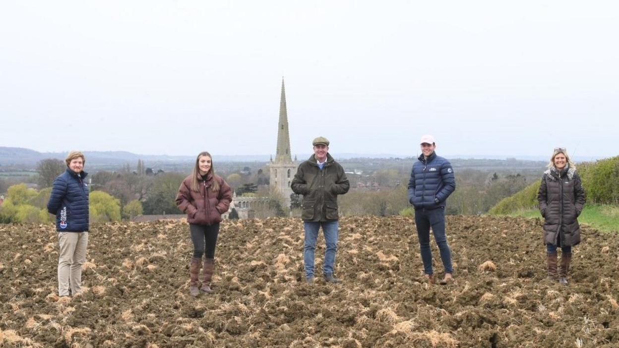 Burial GroundChurch · 910 yd
 RoadRoad, class 2 togher · 1.0 mi
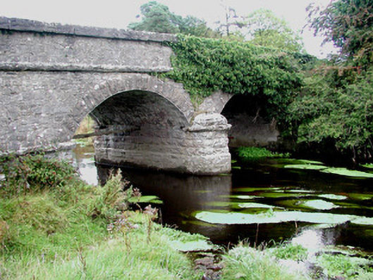 Kilcumber Bridgebridge · 1.1 mi
 OutlinedFairy fort / earthen ringfort · 1.1 mi
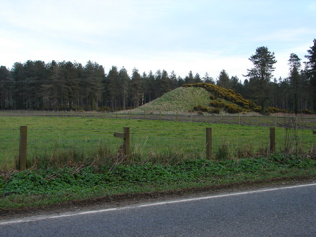 MoteCastle, motte and bailey · 1.5 mi
 Site of CastleCastle, unclassified · 2.1 mi
 Sli na Slainte - mapVisitor information · 3.1 mi
 Killinthomas Wood (Rathangan)Wood · 5.0 mi
 Allen family memorial headstoneMemorial · 5.3 mi
 Foran's WoodForest · 5.3 mi
 The Fairy BowerHeritage attraction · 5.3 mi
 Lullymore Heritage ParkHeritage attraction · 5.4 mi
Other information
Photo: Credit not shown in the picture search · Rights wording not checked; contact us if this picture should be removed