What is recorded here
On a gentle W-facing slope in pasture at the NE end of a narrow spit of land extending SW into Ballyeighter Lough. A possible ring-barrow (max. diam. c. 14m) defined by a fosse and outer bank visible on OSi MapGenie 2013-2018 orthophotography. A second possible ring-barrow (CL011-041----) lies c. 18m to the SW.
Compiled by: Mary Tunney
Date of upload: 18 November 2025
A ring-barrow, likely dating to the Early Bronze Age, associated with burial practices in Atlantic Europe. Its location near Ballyeighter Lough suggests a possible link to ritual or territorial markers in a lakeside landscape.
The monument record does not grant public access. Check the route and ask the landowner before entering private land.
- What survives
- Recorded monument
Places near here
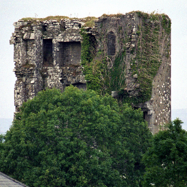 Kilkeedy Castle (in ruins)Castle, tower house · 1194 yd
 Font in Cross (inchiquin By.)Font · 1253 yd
 IndicatedEcclesiastical enclosure · 1300 yd
 R.C. Chapel (in ruins)Church · 1.5 mi
 Slieve RoeMountain / peak · 2.0 mi
 Bawn in DerryowenBawn · 2.0 mi
 Mullagh MoreMountain / peak · 2.0 mi
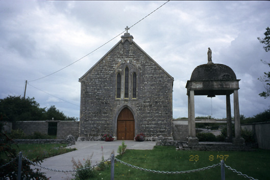 All Saints' Catholic Churchchurch/chapel · 2.3 mi
 Burren National ParkNature reserve · 2.8 mi
 Father Ted's HouseHeritage attraction · 3.3 mi
 Kilmacduagh Monastic SiteVisitor information · 4.3 mi
 Kilnaloone GraveyardArchaeological place · 4.4 mi