What is recorded here
Poorly preserved ring-barrow which appears to have been partly excavated and damaged by fallen trees. Circular mound (diam. 14m N-S ) with central depression (probably the result of digging) enclosed by a wide shallow fosse (Wth 2m) with external bank (Wth 2m; ext. H 1.5m; int. H 0.8m).
The above description is derived from the published 'Archaeological Inventory of County Offaly' (Dublin: Stationery Office, 1997). In certain instances the entries have been revised and updated in the light of recent research.
Date of upload: 23 May 2011
A Neolithic ring-barrow; likely dates to the Early to Middle Bronze Age. Its significance lies in its form and context as a burial monument, though its poor preservation limits archaeological insight.
The monument record does not grant public access. Check the route and ask the landowner before entering private land.
- What survives
- Recorded monument
Places near here
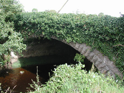 bridgebridge · 1209 yd
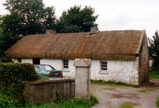 farm housefarm house · 1270 yd
 Killyon Abbey (in ruins)Bawn · 1298 yd
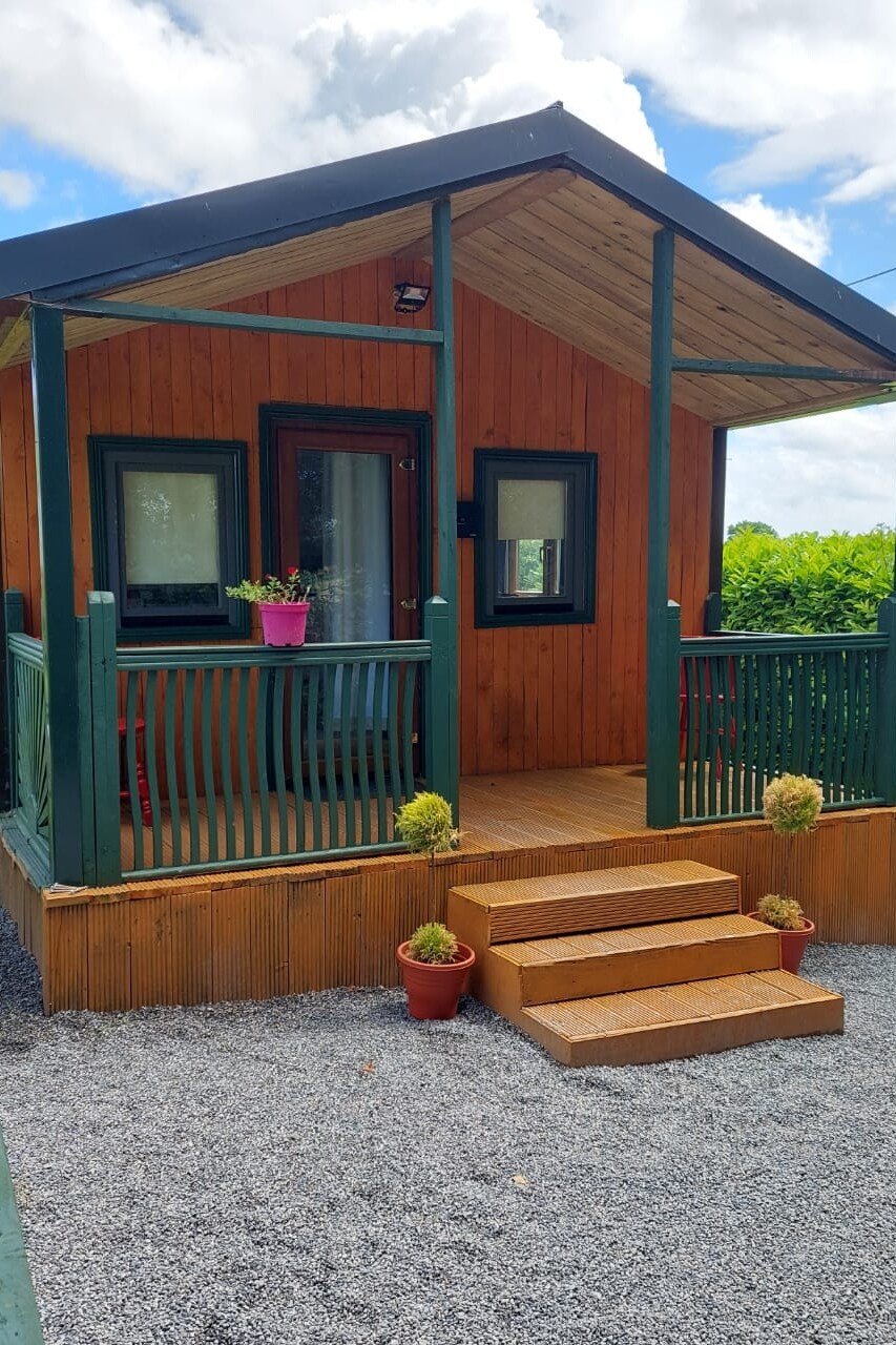 Enclosure in Streamstown (eglish By.)Enclosure · 1300 yd
 IndicatedFairy fort / earthen ringfort · 1497 yd
 Site of OCarrolls CastleCastle, unclassified · 1.0 mi
 Woodville WoodWood · 4.1 mi
 Birr Heritage CentreMuseum · 4.3 mi
 Oriental planeOriental plane · 4.3 mi
 James Franklin FullerMemorial · 4.4 mi
 Waterfall PointViewpoint · 4.5 mi
 The Great Telescope 'Leviathan'Heritage attraction · 4.6 mi