What is recorded here
In improved, generally level pasture. Circular area (dims. 32m N-S; 31m E-W) containing low oval mound (dims. 7.5m N-S; 4m E-W) in centre defined by scarp (Wth 0.7m; max. H 0.45m) and shallow fosse (overall Wth 3.1m; basal Wth 1.2m; D 0.15m) best defined NE-SE and SW-NW. Low intervening bank (overall Wth 9.4m; Wth at top 2.2m; int. H 0.15m; ext. H 0.45m) is best defined SW-NW, levelled out yet traceable NE-SE and modified elsewhere. Intervening fosse (overall Wth 11.5m; basal Wth 1.7m; D 0.45m) is best preserved around W-arc and inner edge is backfilled NE-SE, where intervening bank may have been levelled into it. Substantial outer bank (overall Wth 9.9m; Wth at top 1.6m; int. H 1.05m; ext. H 1.45m) is best preserved S-NW and is slightly lower NW-S. Large quantity of stone within fabric of the outermost bank. Entrance (overall Wth 5.75m; basal Wth 2m) at S is one third the depth of total (external) bank height. Outermost fosse (overall Wth 7.5m; basal Wth 2m; D 0.15m) has been backfilled possibly during reseeding of field. It is possible that a fourth outer bank has been levelled as monument is now 11m from field boundary at W and is shown on latest edition OS 6-inch map as almost being truncated by field boundary to W.
Compiled by: Jean Farrelly
Date of upload: 26 August 2011
Ring-barrow, likely dating to the Early Bronze Age. This type of burial monument is significant as it reflects early communal burial practices and social organisation in prehistoric Ireland.
The monument record does not grant public access. Check the route and ask the landowner before entering private land.
- What survives
- Recorded monument
Places near here
 Enclosure in Railstown (railstown Par.)Enclosure · 243 yd
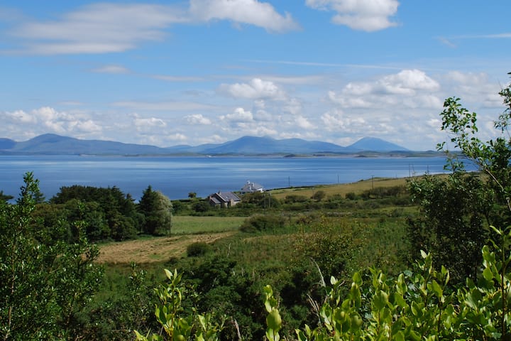 Enclosure in KilsallaghEnclosure · 542 yd
 Railstown Church (in ruins)Church · 985 yd
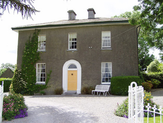 Sandygrove Househouse · 1005 yd
 Bawn in Ballyduagh (railstown Par.)Bawn · 1.2 mi
 CastleCastle, ringwork and bailey · 1.6 mi
 Ballyknock HillMountain / peak · 3.7 mi
 Cashel Folk MusuemMuseum · 3.8 mi
 Black mulberryBlack mulberry · 3.8 mi
 The Rock Of CashelVisitor information · 3.9 mi
 Cormac's ChapelHeritage attraction · 3.9 mi
 European YewEuropean Yew · 5.1 mi