What is recorded here
In open, level tillage. Visible on a 1967 aerial photograph (CUCAP ATC042) as the cropmark of three concentric fosses (est. max. diam. c. 30m), but not visible at ground level in 1985 (SMR file). Probably the site of a multivallate ringbarrow.
Compiled by: Gearóid Conroy
Date of upload: 10 June 2011
A Neolithic ring-barrow, c. 2500–2000 BCE, indicated by concentric fosse cropmarks. Its presence suggests early burial practices and settlement in the Raheen Old area.
The monument record does not grant public access. Check the route and ask the landowner before entering private land.
- What survives
- Recorded monument
Places near here
 EnclosureEnclosure, large enclosure · 230 yd
 Catholic Church of the Sacred Heartchurch/chapel · 674 yd
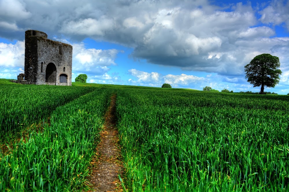 Enclosure in Rathcoffey DemesneEnclosure · 781 yd
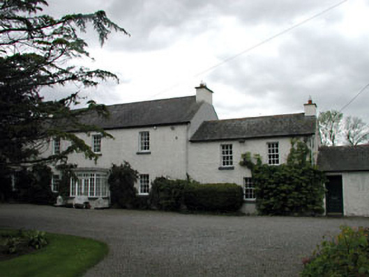 Baltracey Househouse · 941 yd
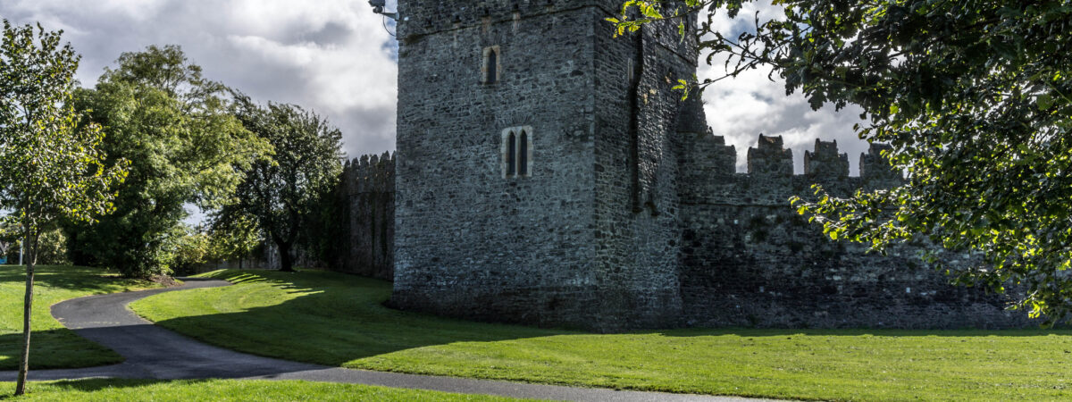 CastleCastle, Anglo-Norman masonry castle · 1155 yd
 Loughtown CovertWood · 1.5 mi
 Richardstown Castle (in Ruins)Castle, tower house · 1.9 mi
 Cocked Hat WoodWood · 2.2 mi
 Mass was there in Penal TimesMemorial · 2.9 mi
 Andrew FayMemorial · 3.5 mi
 Maynooth University South CampusHeritage attraction · 3.9 mi
 National Science MuseumMuseum · 4.0 mi