What is recorded here
In low-lying pastureland. Excavated in 1970 by E. Rynne (pers. comm.), this circular ring-barrow (diam. 11m) comprised a low earthen mound (diam. 5.5m) encircled by a fosse and external bank. Three concentrations of cremated bones were uncovered: in the central mound, in the fosse at SW, and in the fosse at NE. Fragments of bronze and over 80 glass beads accompanied the bone at NE, suggesting an Early Iron Age date for the barrow. The monument was destroyed as a result of quarrying n the early 1980s and no visible surface trace survives.
Compiled by: Galway Archaeological Survey, UCG
Date of upload: 14 August 2019
A Neolithic ring-barrow, dating to approximately 2500–2000 BCE, characterized by a central mound surrounded by a fosse and external bank. Such monuments are significant as early funerary and ceremonial structures, reflecting communal burial practices and social organization in prehistoric Ireland.
This remains an important historical record, but the official description says the monument is no longer visible or has been destroyed. The monument record does not grant public access. Check the route and ask the landowner before entering private land.
- What survives
- No visible remains or recorded as destroyed
Places near here
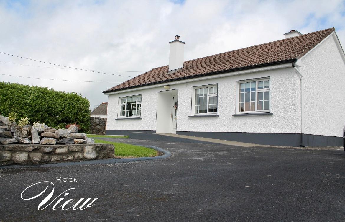 Enclosure in Derrydonnell BegEnclosure · 657 yd
 IndicatedBawn · 1522 yd
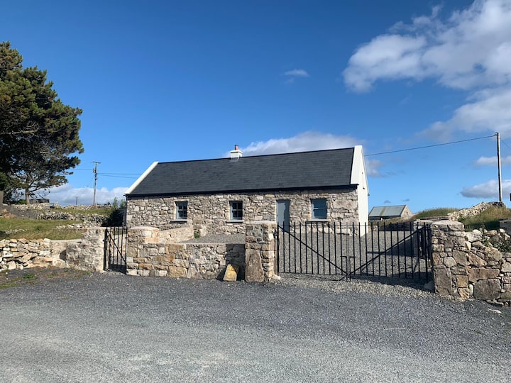 Hut site in BallynageehaHut site · 1.1 mi
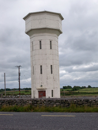 water towerwater tower · 1.6 mi
 Church (in ruins)Church · 1.7 mi
 Derrydonnell Castle (in ruins)Castle, tower house · 1.8 mi
 Loughaun WoodWood · 2.9 mi
 Kilcornan ForestWood · 3.4 mi
 Leadmine HillMountain / peak · 5.1 mi
 Rabbit IslandIslet · 6.0 mi
 Ballyloughane BeachBeach / strand · 6.3 mi
 Royal Tara Visitor CentreHeritage attraction · 6.4 mi