What is recorded here
Barrow is a grass-covered ring-barrow on a rise between Carrickbrack and Slieve na Calliagh in County Meath, Ireland. Its shallow mound, narrow fosse and outer bank form a quiet circle that may have marked burial, ceremony or boundary long before written memory. People may have walked through its possible NE and SW gaps, past the nearby cairn, reading the land as much as the stones. The shape still holds that old human attention, even when hidden under grass and distance.
Situated on a rise at the N edge of the col between Carrickbrack to the SW and the summit of Slieve na Calliagh to the E. This is a circular grass-covered mound (diam. of top 4.5m N-S; 3.9m E-W; H 0.2m) defined by a fosse (Wth of top 3-4.2m; ext. D 0.1-0.3m) from an outer earthen bank (Wth of base 2-3m; ext. H 0.1-0.2m). There may be entrances at NE (Wth c. 3m) and SW (Wth c. 3m) that might also be due to wear (max. ext. diam. 15m N-S; 14.2m E-W). The cairn (ME015-007----) is c. 60m to the E. This monument is not accessible to the public at the moment.
The above description is derived from the published 'Archaeological Inventory of County Meath' (Dublin: Stationery Office, 1987). In certain instances the entries have been revised and updated in the light of recent research.
Revised by: Michael Moore
Date of revision: 10 January 2019
This monument is subject to a preservation order made under the National Monuments Acts 1930 to 2014 (PO no. 23/1977).
The monument record does not grant public access. Check the route and ask the landowner before entering private land.
- What survives
- Recorded monument
Places near here
 LoughcrewMegalithic tomb cemetery · 462 yd
 Cairn SArchaeological place · 745 yd
 Hag's ChairArchaeological place · 784 yd
 Loughcrew Megalithic TombsHeritage attraction · 792 yd
 Slieve Na CalliaghMountain / peak · 826 yd
 Carnbane WestMountain / peak · 836 yd
 C11Named rock · 885 yd
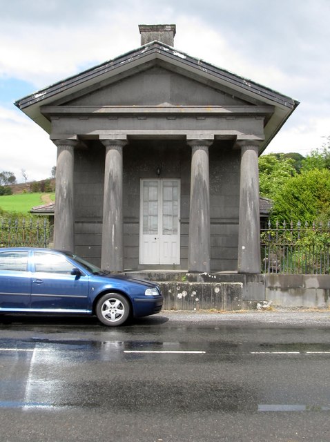 Loughcrew Housegate lodge · 1492 yd
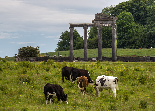 Loughcrew House porticoRuins · 1699 yd
 CastleCastle, unclassified · 1726 yd
 Common LimeCommon Lime · 1.1 mi
 European YewEuropean Yew · 1.1 mi