What is recorded here
This site commands an extensive view W and SW towards the Blasket islands from its bleak and windswept location just E of the summit of Mám Clasach, a high mountain pass between Croaghmarhin and Coumaleague hill. A sub-circular area, c. 17m N-S and 20m E-W, is enclosed by a shallow fosse, 1 to 2.5m wide and no more than .4m deep, and an external bank rising a maximum of 1m internally and .8m externally; the overall dimensions are c. 38m E-W and 35m N-S. Two opposed entrances provide access to the interior from E and W. That to W is 2.1m wide and provided with a narrow causeway leading across the fosse; that to E is 3.6m wide and opens directly onto the bottom of the fosse. Immediately N of this latter entrance the bank appears to have been disturbed.
The above description is derived from J. Cuppage, ‘Corca Dhuibhne. Dingle Peninsula archaeological survey. Ballyferriter. Oidhreacht Chorca Dhuibhne’ (1986), no. 253. In certain instances the entries have been revised and updated in the light of recent research.
Date of upload: 4 August 2013
A ring-barrow, likely dating to the Early Bronze Age, associated with single inhumation burials typical of the period. Its elevated position suggests ritual or strategic significance, possibly linked to landscape orientation or territorial markers.
The monument record does not grant public access. Check the route and ask the landowner before entering private land.
- What survives
- Recorded monument
Places near here
 Hut site in Coimín Bhaile Na HabhaHut site · 740 yd
 Field system in An Gleann Mór (bar. Corca Dhuibhne, Tc Dún Chaoin)Field system · 954 yd
 Cruach MhárthainMountain / peak · 1126 yd
 Church in Gleann LoicChurch · 1.1 mi
 Church in Cill Ura ThoirChurch · 1.2 mi
 St Brendan's WellSpring · 1.6 mi
 Mullach Charraige LéitheMountain / peak · 1.6 mi
 Rahinnane Castle (in ruins)Castle, tower house · 1.7 mi
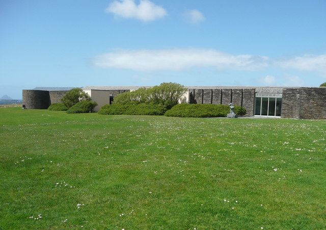 Ionad an Bhlascaoid MhóirMuseum · 1.8 mi
 Tráigh ChloichirBeach / strand · 1.9 mi
 Músaem Chorca DhuibhneMuseum · 1.9 mi
 Dún BinneHeadland · 2.0 mi