What is recorded here
Situated on high pasture in an upland region with extensive views to the W and NW over Nenagh river valley. A nearby hut site (TN033-049) lies c. 200m to the NE. A low circular mound (H 0.4m; diam. 6m NW-SE; 4.9m E-W) enclosed by a fosse (Wth 1.6m; D 0.5-1m) and an outer earthen bank (Wth 1.6m; ext. H 0.25m) which is best preserved at SE. A field boundary extends across the W side of the site on a N-S axis destroying the bank and partially filling the fosse at W.
Compiled by: Caimin O'Brien.
Date of upload: 22 September 2008
A Neolithic ring-barrow; significant as a rare funerary monument type in the region, often associated with early farming communities.
The monument record does not grant public access. Check the route and ask the landowner before entering private land.
- What survives
- Recorded monument
Places near here
 Cooneen HillMountain / peak · 1186 yd
 IndicatedFairy fort / earthen ringfort · 1.1 mi
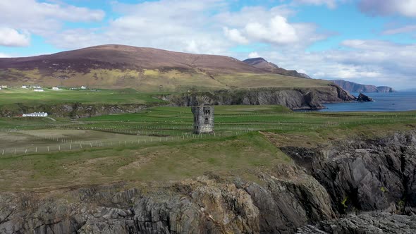 Commaun BegMountain / peak · 1.5 mi
 Curreeny National Schoolschool · 2.1 mi
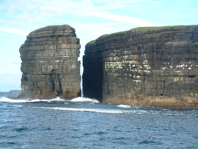 Dermot & Grania's BedArchaeological place · 2.3 mi
 All Saints Catholic Churchchurch/chapel · 2.4 mi
 Site of Cloghonan CastleCastle, unclassified · 2.8 mi
 Castle OtwayCastle, tower house · 3.0 mi
 Killavalla WoodForest · 4.0 mi
 Silvermines ViewpointViewpoint · 4.1 mi
 Sweet ChestnutSweet Chestnut · 4.2 mi
 Our Lady Assumed into HeavenMemorial · 4.9 mi