What is recorded here
Barrow is a four-metre ring-barrow on an esker hillock in County Galway, old enough to predate written memory and likely joined to a larger neighbour on its western side. Cattle may have grazed above its buried chamber for centuries, trusting the grass to hide what hands once shaped. The land remembers more than it reveals.
On a prominent esker hillock in pastureland. Described by McCaffrey (1952, 27, 237, no. 39a; 1955, 224) as ‘the possible remains of a smaller tumulus of the same type contiguous to, if not conjoined to’ the ring-barrow (see GA104-108----) ‘on its western side’. It is defined by a low roughly circular rise (diam. 4m; H 0.15m).
Compiled by: Galway Archaeological Survey, UCG
Date of upload: 14 August 2019
A ring-barrow, likely dating to the Early Bronze Age; its association with a possible contiguous tumulus suggests a complex funerary or ritual landscape.
The monument record does not grant public access. Check the route and ask the landowner before entering private land.
- What survives
- Recorded monument
Places near here
 CarnanthomasCastle, unclassified · 533 yd
 Ballymanagh Ho.House, 18th/19th century · 739 yd
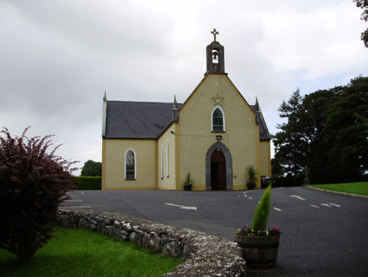 Saint Killian's Catholic Churchchurch/chapel · 864 yd
 Dermot & Grania's BedArchaeological place · 869 yd
 Enclosure in ColesgroveEnclosure · 928 yd
 Roo Castle (in ruins)Castle, tower house · 1.1 mi
 Moyard WoodWood · 3.9 mi
 Blake's IslandIslet · 5.0 mi
 Kilcornan ForestWood · 6.5 mi
 Drumacoo Monastic SiteHeritage attraction · 8.1 mi
 MweenisharanIslet · 9.6 mi
 Man-made underground passageMan-made underground passage · 1033 yd