What is recorded here
Barrow is a ring-barrow on a Galway esker, its central mound no taller than a kneeling man and its outer bank erased from south through west to north. The missing earth does not read as loss but as completion: the hill absorbed the barrier and became the whole shape. A smaller barrow may have touched it on the west, suggesting two claims made on the same ridge before memory began.
On a prominent esker hillock in pastureland. This circular ring-barrow (diam. 10.2m) is defined by a central mound (diam. 3.2m; H 0.2-0.6m) encircled by a fosse and external bank. No visible surface trace of the bank survives from S through W to N. McCaffrey (1952, 27, 237, no. 39a; 1955, 224), noted ‘the possible remains of a smaller tumulus [see GA104-180001-] of the same type contiguous to, if not conjoined to’ the monument ‘on its western side’.
Compiled by: Galway Archaeological Survey, UCG
Date of upload: 14 August 2019
A ring-barrow, likely dating to the Early Bronze Age, characterized by a central mound within a fosse and external bank; such monuments are significant as they reflect early funerary and ritual practices in the Irish landscape.
The monument record does not grant public access. Check the route and ask the landowner before entering private land.
- What survives
- Recorded monument
Places near here
 CarnanthomasCastle, unclassified · 534 yd
 Ballymanagh Ho.House, 18th/19th century · 740 yd
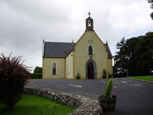 Saint Killian's Catholic Churchchurch/chapel · 865 yd
 Dermot & Grania's BedArchaeological place · 868 yd
 Enclosure in ColesgroveEnclosure · 929 yd
 Roo Castle (in ruins)Castle, tower house · 1.1 mi
 Moyard WoodWood · 3.9 mi
 Blake's IslandIslet · 5.0 mi
 Kilcornan ForestWood · 6.5 mi
 Drumacoo Monastic SiteHeritage attraction · 8.1 mi
 MweenisharanIslet · 9.6 mi
 Man-made underground passageMan-made underground passage · 1033 yd