What is recorded here
In rough pasture, located on a natural rise or terrace on the lower S-facing slopes of the Partry Mountains, overlooking the western shores of Lough Mask, with the skyline at S−SW dominated by the dramatic ridges of Maumtrasna Mountain. This ringbarrow consists of a flat circular area (diam. 2m; H 0.2m above fosse) enclosed by a fosse. The fosse (Wth 0.8m) is sharply defined and also deeper (D 0.5m) relative to external ground level at SSW−NW, where it cuts through a slight natural rise in surrounding ground level; elsewhere it is evident as a poorly defined, shallow depression (ext. D 0.2m). It was noted during an inspection in 1999 that the barrow lacked a clearly defined outer bank. An inspection in 2017, found a hint of a rise (Wth c. 0.6m) immediately outside the fosse at W−NW. It is marked by shorter grass growth, and might represent the remnants of a levelled external bank, but it cannot be traced elsewhere around the circuit. The diameter of the barrow to the external edge of the fosse is 4m. There is a stone row (MA116A005001-) 2m to W. Another stone row (MA116A006001-) and a cairn (MA116A006002-) are located 300m to WSW.
Images:
MA116A005002-_01.JPG Viewed from N
MA116A005002-_02.JPG Viewed from E
Compiled by: Jane O’ Shaughnessy
Date of upload: 27 September 2017
A ring-barrow, likely dating to the Early Bronze Age; its location suggests a ceremonial or funerary significance within a landscape of strategic and visual prominence.
The monument record does not grant public access. Check the route and ask the landowner before entering private land.
- What survives
- Recorded monument
Places near here
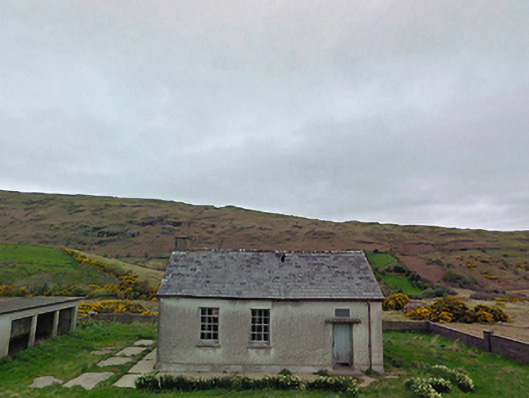 Glensaul National Schoolschool · 1438 yd
 bridgebridge · 1.2 mi
 Runnet HillMountain / peak · 1.2 mi
 Strand RockIslet · 1.6 mi
 Dash IslandIslet · 1.6 mi
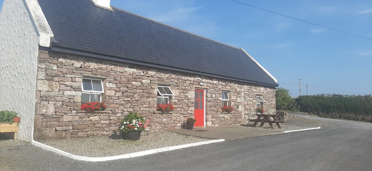 ToberkeelaghHoly well · 2.5 mi
 IndicatedEnclosure · 2.6 mi
 Coill Thuar Mhic ÉadaighWood · 3.0 mi
 Doon RockNamed rock · 3.3 mi
 CarrigeenbaunNamed rock · 3.8 mi
 Ballindeonagh Castle (in ruins)Castle, unclassified · 5.0 mi
 BencorraghMountain / peak · 5.7 mi