What is recorded here
Field report from Celie O'Rahilly (3 March 1994): 'Possible Ringbarrow, Td Lahesseragh…This is located in a flat grazing field which seems to be pegged out as sites, possibly for housing development. It consists of a mound, <1m high, with a roughly circular depression, of ca 14m diameter, in the centre. It was noted when walking the proposed Nenagh By-pass and, although it is not affected by the line of the road'.
The above description is derived from 'The Archaeological Inventory of County Tipperary. Vol. 1 - North Tipperary' compiled by Jean Farrelly and Caimin O'Brien (Dublin: Stationery Office, 2002). In certain instances the entries have been revised and updated in the light of recent research.
Date of upload/revision: 22 September 2008
The monument record does not grant public access. Check the route and ask the landowner before entering private land.
- What survives
- Recorded monument
Places near here
 Hut site in BenedinHut site · 888 yd
 Tullahedy CastleCastle · 1268 yd
 Enclosure in Ballycahill (kilmore Par., North Riding)Enclosure · 1382 yd
 ShannacloghRuins · 1479 yd
 Ballycahill Castle (in ruins)Castle, unclassified · 1566 yd
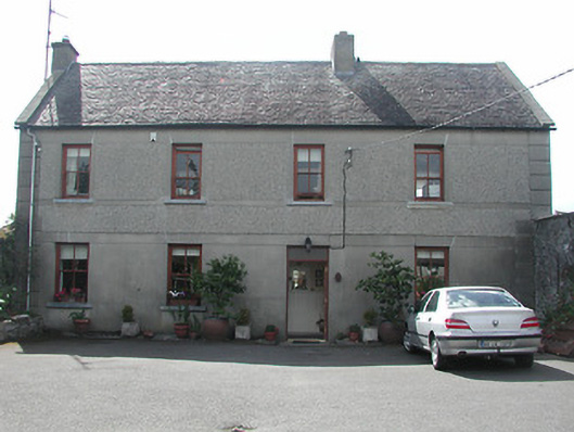 Silver Viewhouse · 1622 yd
 Nenagh Heritage CentreMuseum · 1.4 mi
 Old BarracksHeritage attraction · 1.6 mi
 Gibbet HillMountain / peak · 2.5 mi
 Sweet ChestnutSweet Chestnut · 3.5 mi
 The MinerMemorial · 3.8 mi
 Our Lady Assumed into HeavenMemorial · 3.8 mi