What is recorded here
Situated in fields to the W of Nenagh Mart, behind St Patrick's Terrace on O'Growney Street. A number of nine possible barrows showed up on aerial photographs (OSAP 3585, 16.5.1986). These could also have been formed from cattle feeding rings, though the variation in dimensions suggests otherwise.
The land rises gradually to the S. There are six possible ring-barrows (TN020-099-005) in this field, roughly in a diamond-shaped arrangement. The most southerly ring-barrow is on a rise in the field, while the remainder are slightly below this level. All the sites are very subtle comprising a fosse and slight internal mound. They are all roughly circular. N site: Diam. 8m N-S; 7.32m E-W; diam. of mound 2.05-2.1m; H from mound to fosse 0.11m; D of fosse 0.04m. W site: Diam. 6.4m N-S; 5.94m E-W; diam. of mound 1.86-2m; H from mound to fosse 0.03m; D of fosse 0.1m. E site: Diam. 6.11m N-S; 6.8m E-W; diam. of mound 2.52-2.19m; H from mound to fosse 0.07m; D of fosse 0.05m. S site: Diam. 8.5m N-S; 9.5m E-W; diam. of mound 3.1m; H from mound to fosse 0.05m; D of fosse 0.1m. The S site is quite denuded at E and it is difficult to determine its extent. The mound itself, however, is quite visible as is the fosse at W; it shows up well on the aerial photograph.
Compiled by: Caimin O'Brien.
Date of upload: 22 September 2008
Ring-barrow, likely dating to the Early Bronze Age. Its presence indicates a broader prehistoric burial landscape in the area, associated with ritual and commemorative practices of the period.
The monument record does not grant public access. Check the route and ask the landowner before entering private land.
- What survives
- Recorded monument
Places near here
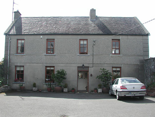 Silver Viewhouse · 143 yd
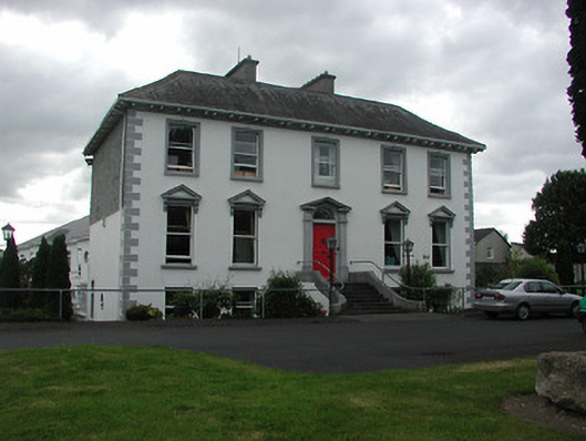 Nenagh Manorhouse · 392 yd
 Town defences in Nenagh South,nenagh NorthTown defences · 522 yd
 Church (in Ruins)Graveyard · 544 yd
 Nenagh CastleCastle · 827 yd
 CastleCastle, Anglo-Norman masonry castle · 827 yd
 Nenagh Heritage CentreMuseum · 851 yd
 Old BarracksHeritage attraction · 1176 yd
 Gibbet HillMountain / peak · 2.4 mi
 James Devaney MemorialMemorial · 3.8 mi
 Sweet ChestnutSweet Chestnut · 4.3 mi
 Knigh HillMountain / peak · 4.5 mi