
What is recorded here
Geo-physical survey and test trencing in 2000 revealed a ring barrow. This was located in a slightly elevated position. It comprises a ditch (Wth 2.5m, D 1.6m) which encloses a maximum area of 13m. Fragments of a human skull was found in the upper fill of the ditch. A 'cist-like structure' was exposed in the northern quadrant of the ditch. Cremated bone associated with Early Bronze Age pottery and a bead were found within the interior of the enclosing ditch. Soil samples from the ditch contained remains of barley, wheat, oats and evidence for hazel, haw and sloe (Doyle 2002, 75-6).
Compiled by: Geraldine Stout
Date of upload: 26 August 2011
Ring barrow, likely dating to the Early Bronze Age. Its elevated position and ditched construction suggest it is a funerary monument of local significance, possibly part of a broader pattern of burial practices in the region.
The monument record does not grant public access. Check the route and ask the landowner before entering private land.
- What survives
- Recorded monument
Places near here
 Fulacht fia in NangorFulacht fia · 248 yd
 Field system in NangorField system · 541 yd
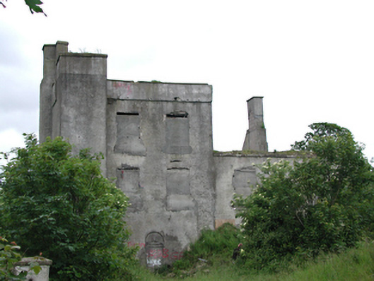 Grange Castlecastle/fortified house · 574 yd
 Nangor castleCastle, unclassified · 606 yd
 CastleCastle, tower house · 854 yd
 Church (in ruins)Church · 876 yd
 Corkagh DemesneMemorial · 1.2 mi
 Fairy WoodWood · 1.2 mi
 Griffeen Valley WalkWalking route · 1.3 mi
 Early Stadium DesignHeritage attraction · 1.5 mi
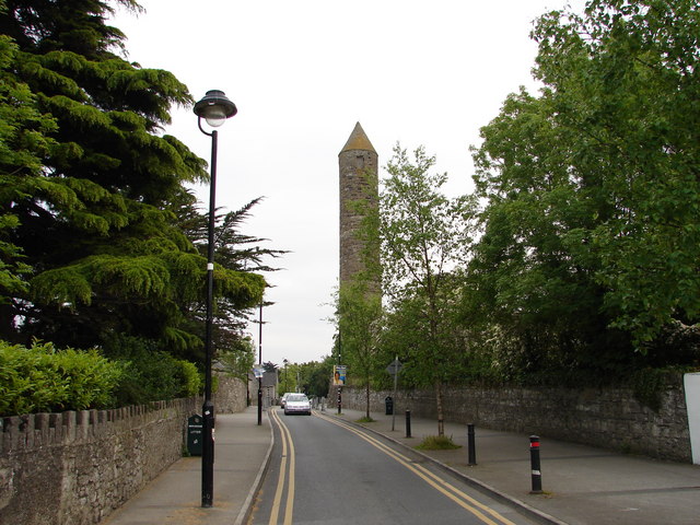 The Round TowerVisitor information · 1.6 mi
 Clondalkin Round TowerHeritage attraction · 1.6 mi
Other information
Photo: Credit not shown in the picture search · Rights wording not checked; contact us if this picture should be removed