What is recorded here
In low-lying wet pasture, 45m NW of a townland boundary with Ballyhurst, excellent views of Knockseefin to WNW. Not depicted on OSi historic maps. Situated within large enclosure (LI024-049001-) and one of nine associated ring-barrows of which eight are satellite ring-barrows (LI024-049001-/02-/03-/04-/05-/06-/07-; LI024-288/308----) located outside the large enclosure. Monument surveyed by the ASI in 2008 and described as a low profile circular-shaped area (5.3m NW-SE; 5m NE-SW) defined by a scarp (Wth 0.8-1.15m; H 0.12-0.19m), with fosse (Wth 3.2-3.35m; D 0.14-0.25m) and an outer bank (Wth 3.3-3.95m; int. H 0.14-0.25m; ext. H 0.05-0.15m) which are best preserved from SSW-W-N-E-SSE, levelled from SSE-S-SSW. The interior has a very slight SE-facing slope and is grass covered. Monument is visible as a faint circular-shaped cropmark on OSi orthophoto taken 2005-2012 and on Google Earth orthoimage taken 18/11/2018.
See attached Google Earth orthoimage taken 18/11/2018
Compiled by: Alison McQueen and Vera Rahilly
Date of upload: 16 October 2020
A Neolithic ring-barrow; part of a group of nine associated monuments. Its presence suggests a significant ceremonial or funerary landscape in the Neolithic period.
The monument record does not grant public access. Check the route and ask the landowner before entering private land.
- What survives
- Recorded monument
Places near here
 EnclosureEnclosure, large enclosure · 24 yd
 Enclosure in KilduffEnclosure · 242 yd
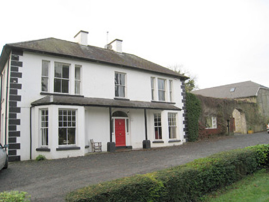 Mount Catherinehouse · 980 yd
 ToberagaddySpring · 1009 yd
 Kilduff CastleCastle · 1104 yd
 Kilduff Castle (in ruins)Castle, tower house · 1105 yd
 Ballynaclogh Church (in ruins)Church · 1113 yd
 KnockseefinMountain / peak · 1.5 mi
 St. Patrick's WellSpring · 3.5 mi
 Oola HillMountain / peak · 3.8 mi
 Flat cemetery in Knockainy WestFlat cemetery · 7.8 mi
 RathbaunArchaeological place · 455 yd