What is recorded here
In pasture, located on top of a hillock, at the break of slope on the SE side. The location provides extensive views over the surrounding undulating terrain; trees block views of Croagh Patrick to W and Nephin Mountain to NW. Another barrow (MA093-038001) is visible on a prominent elevation c. 200m to SSW. When inspected in 1998, this monument consisted of a central circular mound (2.4m N–S; 2.6m E–W; H 0.35m) enclosed by a fosse (Wth 1.2m) with an external bank (Wth 2-2.5m; int. H 0.2-0.3m), with an overall diameter of c. 9m. The outer bank was poorly defined, and graded into the hill slope, and the E side of the barrow was partly dug away. An inspection in March 2017 found that the barrow has been entirely levelled.
Compiled by: Jane O'Shaughnessy
Date of upload: 25 August 2017
A ring-barrow, likely dating to the Early Bronze Age, associated with burial practices in upland landscapes. Its elevated position suggests ritual or symbolic significance related to territorial markers or landscape orientation.
The monument record does not grant public access. Check the route and ask the landowner before entering private land.
- What survives
- Recorded monument
Places near here
 IndicatedFairy fort / earthen ringfort · 987 yd
 CastleCastle, unclassified · 1544 yd
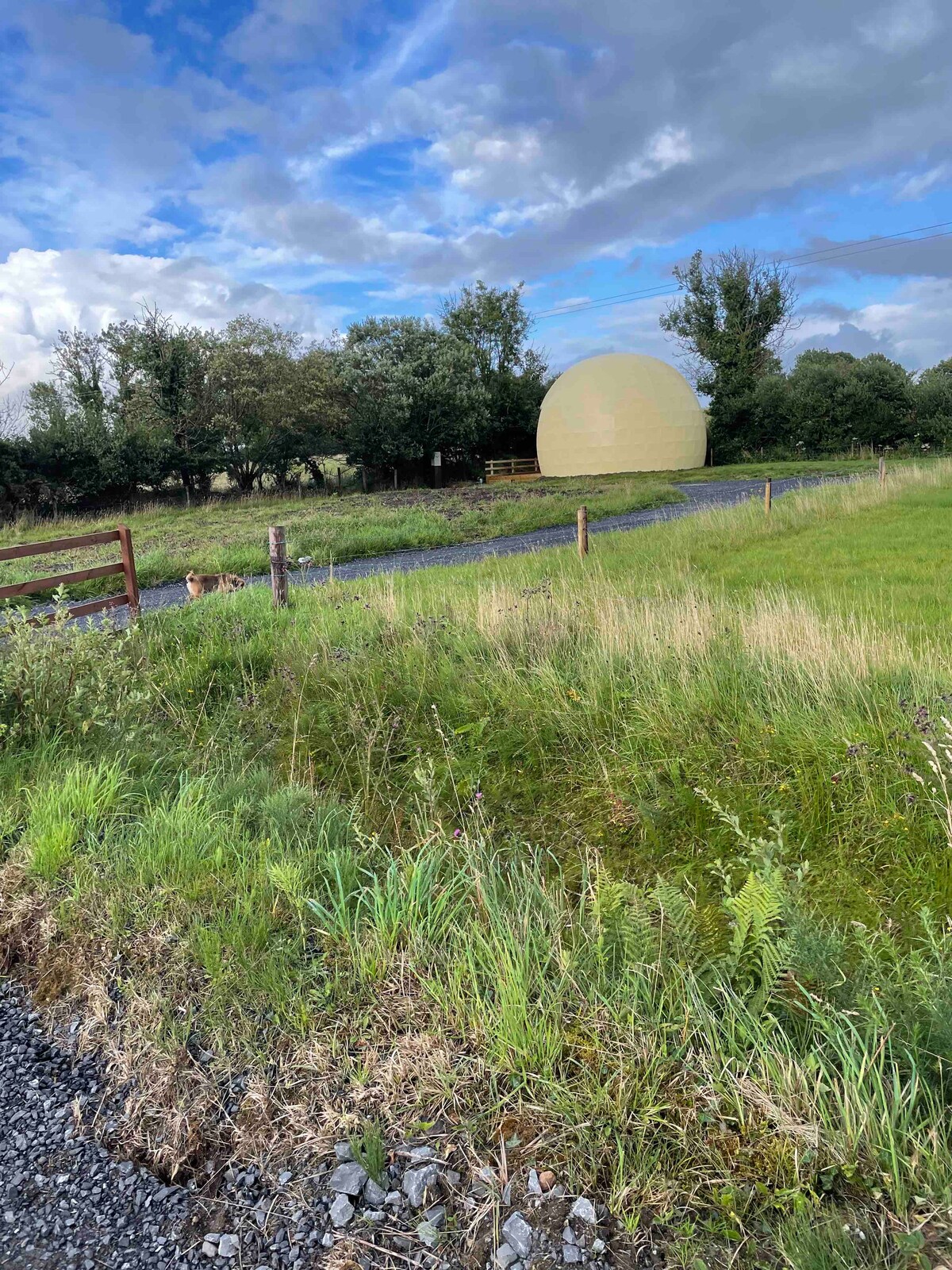 Enclosure in Larganboy EastEnclosure · 1.1 mi
 Saint Patrick's Catholic Churchpresbytery/parochial/curate's house · 1.4 mi
 Ballyhaunis Courthousecourt house · 1.5 mi
 Rath Castle in ruinsCastle, tower house · 4.7 mi
 Knock MuseumMuseum · 5.0 mi
 Knock ShrineHeritage attraction · 5.0 mi
 East Mayo Brigade MonumentMemorial · 6.4 mi
 Oak WoodForest · 9.4 mi
 I'll Send You The FareMemorial · 9.7 mi
 Geoffrey's WoodForest · 10 mi