What is recorded here
In pasture, on S-facing slope, adjoining N side of field fence. Circular raised area (10m E-W; 9.5m N-S) enclosed by fosse (D 0.8m; Wth 6m) with outer earthen bank (H 1m). Causewayed entrance (Wth 3.5m) to E. Interior slopes gently down to S. Site planted with coniferous trees.
The above description is derived from the published 'Archaeological Inventory of County Cork. Volume 3: Mid Cork' (Dublin: Stationery Office, 1997). In certain instances the entries have been revised and updated in the light of recent research.
Date of upload/revision: 14 January 2009
Circular Neolithic or Bronze Age ring-barrow, likely a burial mound with a surrounding ditch and external bank. Its construction and location suggest a ceremonial or funerary function within a prehistoric landscape.
The monument record does not grant public access. Check the route and ask the landowner before entering private land.
- What survives
- Recorded monument
Places near here
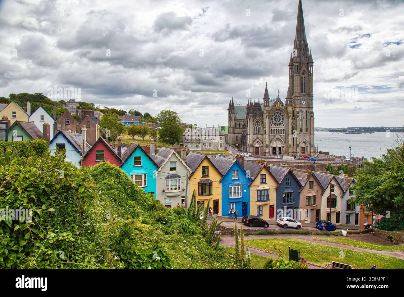 LissaniskaFairy fort / earthen ringfort · 181 yd
 IndicatedKiln, lime · 671 yd
 KilnKiln, lime · 691 yd
 Fulacht fia in GlenleighFulacht fia · 1062 yd
 Blackwater (Duhallow) WayWalking route · 2.0 mi
 Rathcool WoodWood · 2.1 mi
 Castle and TurretCastle, tower house · 2.6 mi
 Standing Stone ? At J WellMemorial · 3.1 mi
 Millstreet Tourist InformationVisitor information · 3.1 mi
 St. Patrick's ChurchVisitor information · 3.1 mi
 Millstreet Museum & Tourist Information CentreMuseum · 3.1 mi
 MusheraMountain / peak · 3.3 mi