What is recorded here
The cropmark of a possible ringbarrow is evident on Google Earth aerial photographs, at this location.
Compiled by: Denis Power
Date of upload: 4 September 2013
The monument record does not grant public access. Check the route and ask the landowner before entering private land.
- What survives
- Recorded monument
Places near here
 BarrowBarrow, unclassified · 404 yd
 Standing stone in Longstone (cullen Par.)Standing stone · 469 yd
 RathardCastle, ringwork · 1123 yd
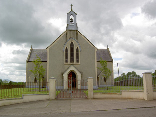 Saint Patrick's Catholic Churchchurch/chapel · 1186 yd
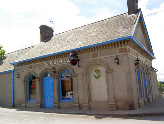 D. Quinlanpublic house · 1351 yd
 Site of Cullen CastleCastle, unclassified · 1472 yd
 Oola HillMountain / peak · 1.9 mi
 KnockseefinMountain / peak · 4.3 mi
 St. Patrick's WellSpring · 4.6 mi
 Flat cemetery in Knockainy WestFlat cemetery · 7.5 mi
 St Patrick's WellSpring · 7.7 mi
 Ballinvreena LoopVisitor information · 11 mi