What is recorded here
Outline of ring-barrow possible (overall diam. 48m) consisting of a small circular mound enclosed by an inner fosse, low bank, fosse and traces of an outer bank visible on Digital Globe aerial imagery. The monument is intersected at W by a field boundary which curves out forming part of the enclosing element of the possible barrow.
Compiled by: Caimin O'Brien based on details provided by Edmond O'Donovan
Date of upload: 30 October 2019
A ring-barrow, likely dating to the Early Bronze Age, consisting of a circular mound with concentric ditches and banks; such monuments are significant as they represent early funerary and ceremonial earthworks in the Irish landscape.
The monument record does not grant public access. Check the route and ask the landowner before entering private land.
- What survives
- Recorded monument
Places near here
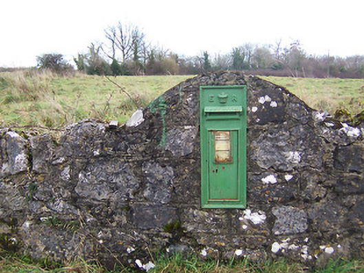 post boxpost box · 278 yd
 Hut site in Corr (rathconrath By.)Hut site · 643 yd
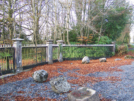 Glencara Housedemesne walls/gates/railings · 751 yd
 Hachured, 420 ODCastle, motte · 962 yd
 Hut site in Farthingstown (rathconrath By.)Hut site · 1104 yd
 CastleCastle, tower house · 1216 yd
 Ancient Ring FortWood · 1.6 mi
 Hill of UisneachMountain / peak · 1.9 mi
 Sessile OakSessile Oak · 4.4 mi
 Abbeyshrule AbbeyRuins · 5.9 mi
 Guest ServicesVisitor information · 6.6 mi
 Goldsmith Birthplace, PallasVisitor information · 6.9 mi