What is recorded here
In undulating pasture c. 140m E of sea cliffs, with higher ground E-SSE. This almost levelled circular ring-barrow (ext. diams. 19.3m N-S; 19m E-W) comprises a low central mound (diam. 9m; H 0.25m) surrounded by a wide fosse (Wth 6m) and a broad outer bank (Wth 5.5m; int. H 0.25m; ext. H 0.15- 0.25m). There are two other ring-barrows nearby, one (CL008-085001-) c. 12m to the W and another (CL008-086----) c. 93m to the N.
See attachment: CL008-085002-_01 Monument viewed from W.
Summary by: Gearóid Conroy and Conn Herriott
Date of upload: 7 December 2022
A ring-barrow, likely dating to the Early Bronze Age, representing a type of burial monument common in Atlantic Europe. Its circular form and central mound suggest a significant ritual or elite burial, though its exact significance remains unclear due to limited surviving features.
The monument record does not grant public access. Check the route and ask the landowner before entering private land.
- What survives
- Recorded monument
Places near here
 Doonagore Castle in ruinsCastle, tower house · 424 yd
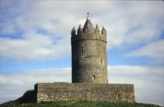 Doonnagore Castlecastle/fortified house · 425 yd
 Enclosure in DoonnagoreEnclosure · 479 yd
 CaherEnclosure · 835 yd
 bridgebridge · 898 yd
 Doonmacfelim Castle (in Ruins)Castle, tower house · 1152 yd
 Fisherstreet PotCave · 1347 yd
 Doolin FerriesHeritage attraction · 1441 yd
 Wild Atlantic Way: Doolin PierVisitor information · 1454 yd
 Ballaghaline PointHeadland · 1576 yd
 Crab IslandIslet · 1.1 mi
 Doolin PointHeadland · 1.1 mi